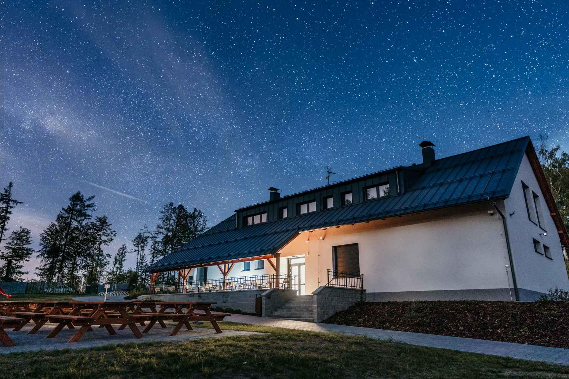
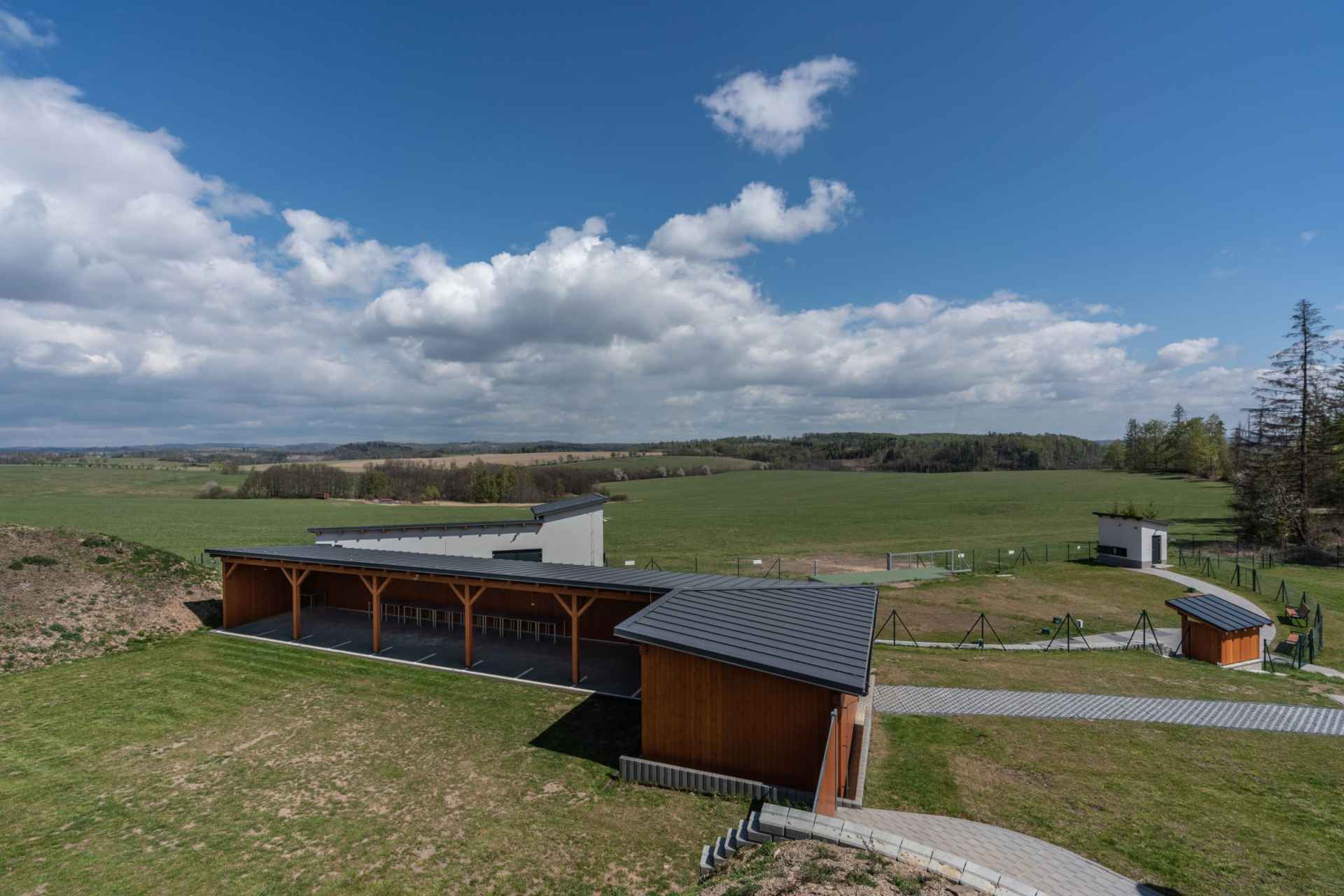
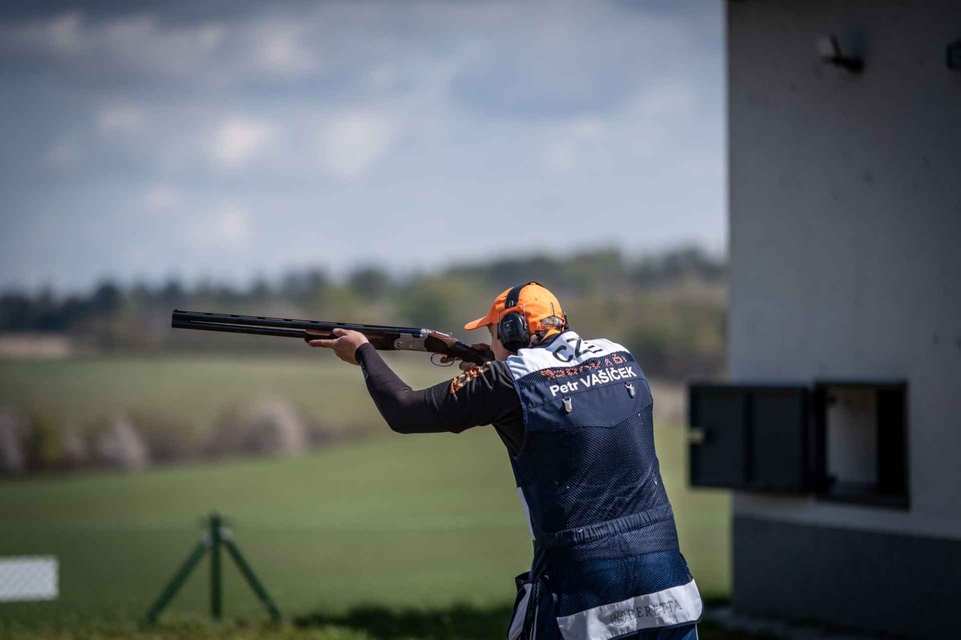
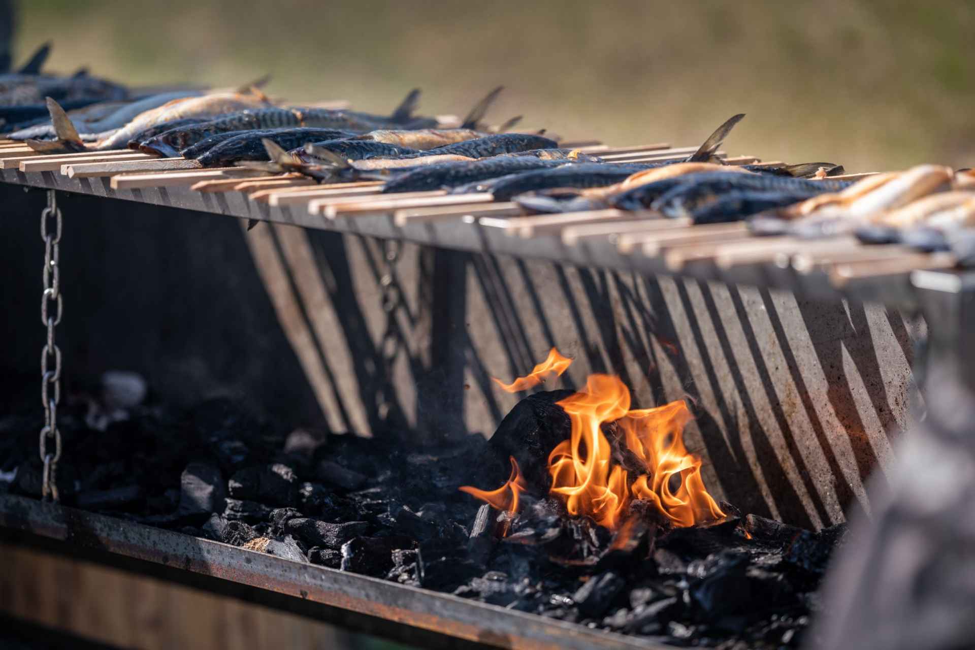
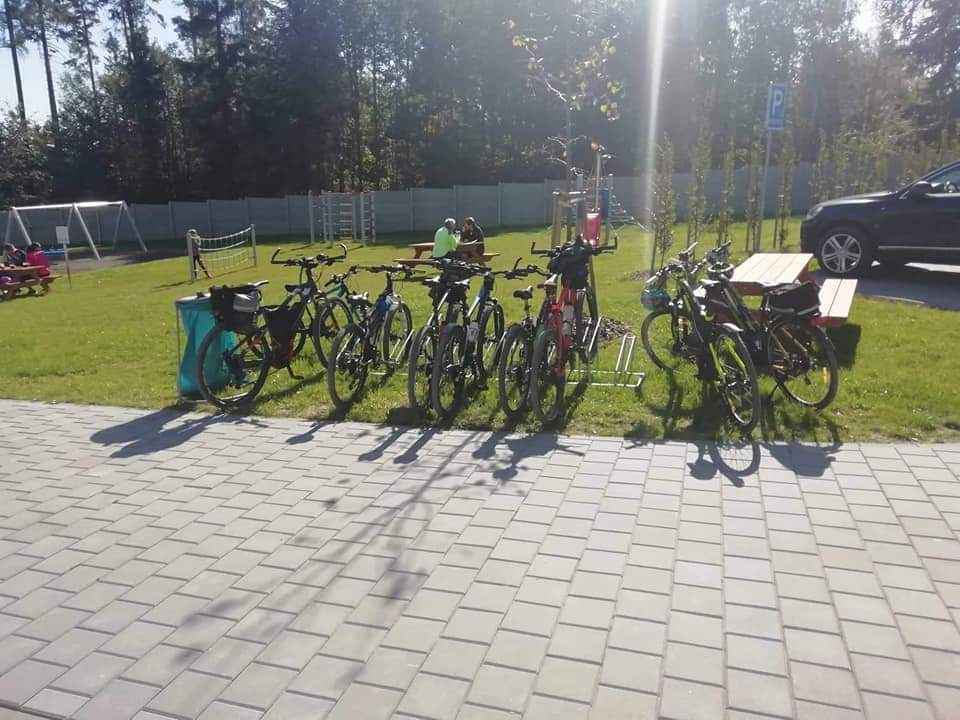
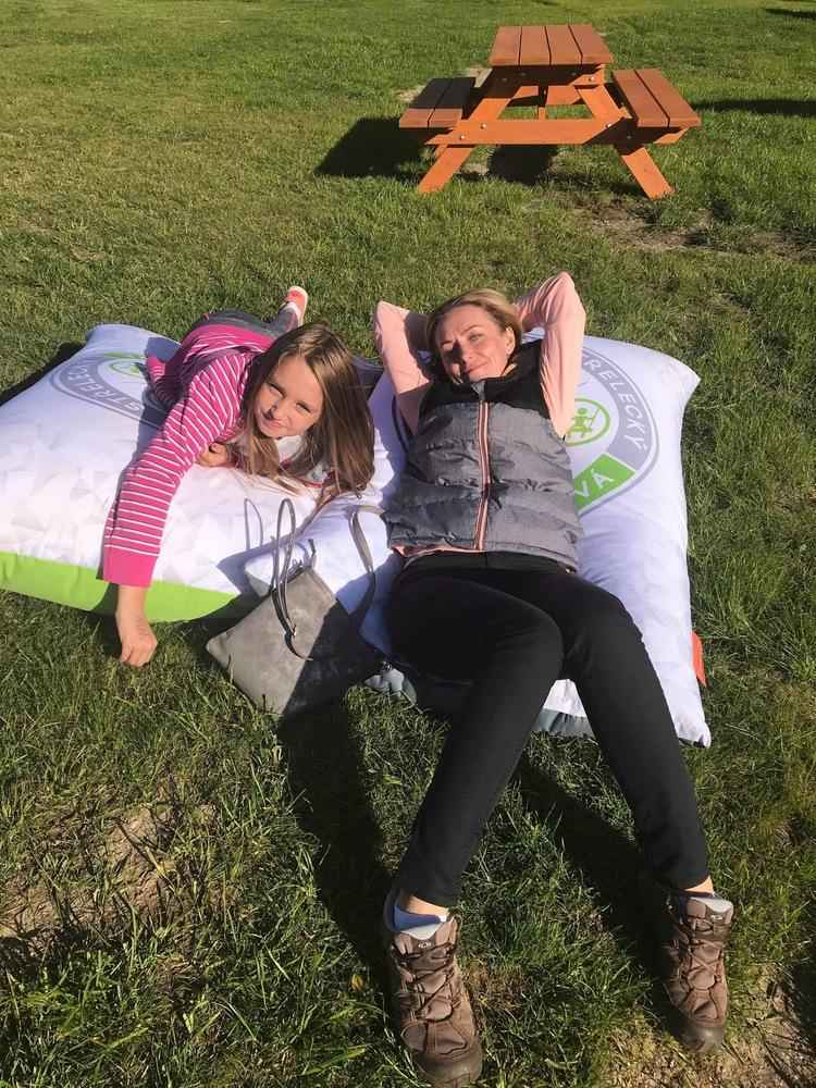
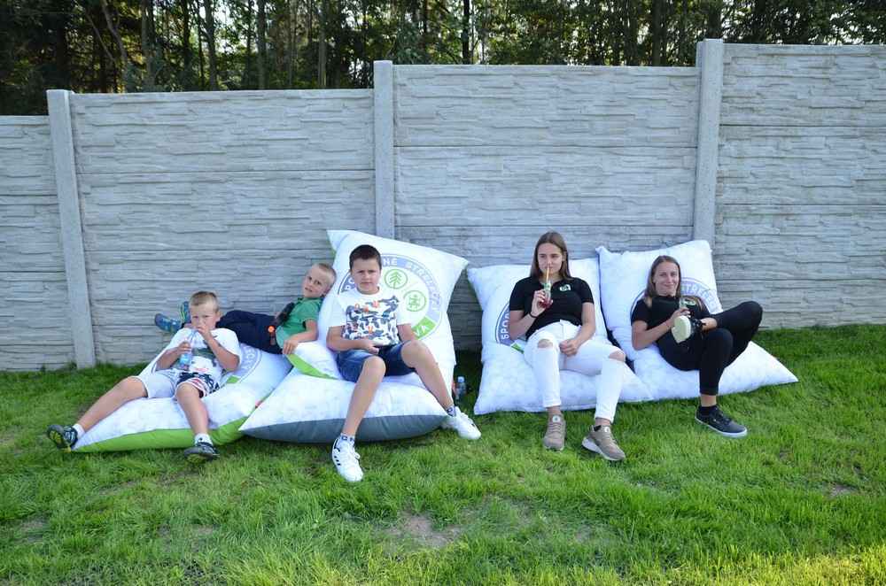
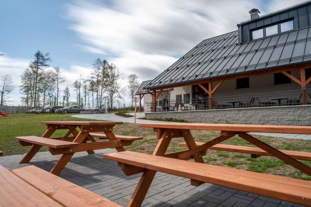
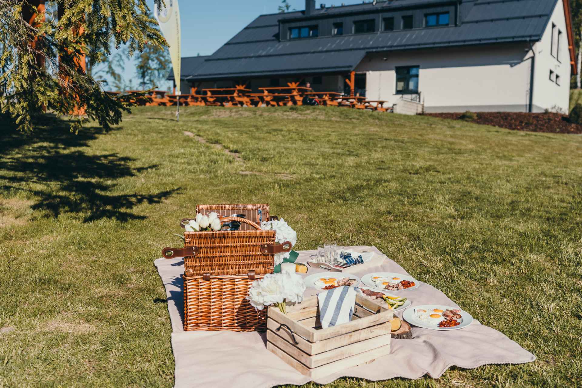
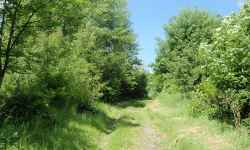
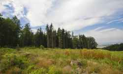
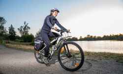
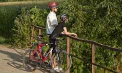
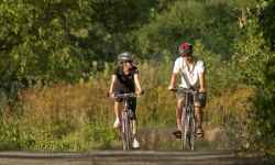
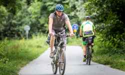
Sports and shooting area Jívová
aktuálně 14.9 °C zataženo
04.05. | slabý déšť | 18.1 °C
05.05. | slabý déšť | 17.1 °C
06.05. | zataženo | 19.1 °C
Jívová 295, 783 98 Jívová, Okres Olomouc, Olomoucký kraj, Česko

Contact:

725 981 980
Jívová 295
783 98 Jívová, Česko
Plan route

Sports and shooting area Jívová

The modern shooting range is a hit on the way to experience, whether with friends or family.

There is an outdoor skeet range and a pellet range (skeet and universal trap). If you don't have a firearms license, that's okay, you can try experiential short and long firearms shooting with an instructor. In addition, you can sit in the area, refresh yourself and have something good from the grill. If you're not in a hurry and your home is far away, stay in a comfortable apartment with a view of the shooting range. But there is also a multifunctional playground for children and workouts, a wi-fi connection, and a charging station for electric bikes. The area around the shooting range is ideal for hiking and cycling. The range is located in a natural park, 15 km as the crow flies from the center of Olomouc.

0%
Tour de Wanzl cycle path

Tour de Wanzl cycle path

The moderately demanding route is a circuit with the beginning and end at the village square of Jívová. The name of the route was chosen in honor of the local native and inventor of the shopping tro ... (more)
Obtížnost: středně těžká
Čas: 852 minut
Délka: 48.93 km
Zážitek:
Stoupání: 988 metrů
Klesání: 986 metrů
Krajina:
Nejvyšší bod: 644 m.n.m.
Nejnižší bod: 355 m.n.m.
Educational trail of Hrubik the Elf

Educational trail of Hrubik the Elf

The Hrubík Nature Trail has 7 stops with educational and fun activities for families with children. It is about 1 km long and starts behind the stable building. The theme of the nature trail is th ... (more)
Green Trail Šternberk

Green Trail Šternberk

The nature trail starts in Šternberk and leads along the green tourist trail through Těšíkov to the spring of the Těšíkov acid spring, where you will get acquainted with other springs of Centra ... (more)
Obtížnost: lehká
Čas: 177 minut
Délka: 8.74 km
Zážitek:
Stoupání: 372 metrů
Klesání: 156 metrů
Krajina:
Nejvyšší bod: 560 m.n.m.
Nejnižší bod: 272 m.n.m.
Henička Nature Trail

Henička Nature Trail

The nature trail forms a recreational walking circuit and leads through a suburban forest on the eastern edge of Šternberk. The starting point is the field station of the Czech Union of Nature Conser ... (more)
Obtížnost: lehká
Čas: 43 minut
Délka: 2.25 km
Zážitek:
Stoupání: 84 metrů
Klesání: 84 metrů
Krajina:
Nejvyšší bod: 479 m.n.m.
Nejnižší bod: 396 m.n.m.
Nature trail through the Bystřice Valley

Nature trail through the Bystřice Valley

The trail through the Bystřice River Valley and the Bystřice Valley Nature Park starts in Domašov nad Bystřicí and leads to Hrubá Voda. There are 10 stops along the route , along with informatio ... (more)
Obtížnost: lehká
Čas: 234 minut
Délka: 13.12 km
Zážitek:
Stoupání: 278 metrů
Klesání: 430 metrů
Krajina:
Nejvyšší bod: 546 m.n.m.
Nejnižší bod: 345 m.n.m.
Prabába Nature Trail

Prabába Nature Trail

The circular nature trail leads along hillsides and well-maintained forest paths in the surroundings of Šternberk. There are 9 stops on the trail , which will introduce you to the history of the regi ... (more)
Obtížnost: lehká
Čas: 85 minut
Délka: 4.41 km
Zážitek:
Stoupání: 141 metrů
Klesání: 141 metrů
Krajina:
Nejvyšší bod: 443 m.n.m.
Nejnižší bod: 339 m.n.m.
Prabába Nature Trail

Prabába Nature Trail

The circular nature trail winds along the slopes of several hills in the vicinity of Šternberk, leading along well-maintained forest paths. The route has a less demanding and slightly more demanding ... (more)
Cycle path Behind the Living Water

Cycle path Behind the Living Water

The trail starts at the information center in Šternberk , following sign No. 6009. From the IC you will climb up Opavská Street towards the start of the famous Ecce Homo track and continue climbing un ... (more)
Obtížnost: těžká
Čas: 1015 minut
Délka: 59.00 km
Zážitek:
Stoupání: 1034 metrů
Klesání: 1035 metrů
Krajina:
Nejvyšší bod: 695 m.n.m.
Nejnižší bod: 275 m.n.m.
Cycle path to the zoo and for swimming

Cycle path to the zoo and for swimming

The circular route starts and ends in Šterberk at the Upper Square in front of the information centre. Cyclists who take the trail have the opportunity to visit the zoo at St. Kopecek near Olomouc an ... (more)
Obtížnost: středně těžká
Čas: 711 minut
Délka: 41.48 km
Zážitek:
Stoupání: 744 metrů
Klesání: 748 metrů
Krajina:
Nejvyšší bod: 558 m.n.m.
Nejnižší bod: 226 m.n.m.
30 kilometres through the surroundings of Šternberk

30 kilometres through the surroundings of Šternberk

The circular route starts and ends in Šternberk at the Upper Square in front of the local Information Centre. The highest point of the route is Chabičov, a local part of Šternberk, and then you wil ... (more)
Obtížnost: lehká
Čas: 506 minut
Délka: 31.08 km
Zážitek:
Stoupání: 330 metrů
Klesání: 349 metrů
Krajina:
Nejvyšší bod: 479 m.n.m.
Nejnižší bod: 221 m.n.m.
Mountain route

Mountain route

The circular route starts at the information center in Šternberk with the sign 6009. From the center, you will climb up Opavská Street towards the start of the Ecce Homo line and further up to the vil ... (more)
Obtížnost: těžká
Čas: 1018 minut
Délka: 57.78 km
Zážitek:
Stoupání: 1305 metrů
Klesání: 1309 metrů
Krajina:
Nejvyšší bod: 648 m.n.m.
Nejnižší bod: 247 m.n.m.
Křížový and Kočičí vrch Nature trail

Křížový and Kočičí vrch Nature trail

The circular nature trail starts at the bus station in Moravský Beroun and is intended for hikers - due to the section that leads over the rock wall, it is not suitable for cyclists. The trail will t ... (more)
Obtížnost: středně těžká
Čas: 100 minut
Délka: 5.51 km
Zážitek:
Stoupání: 128 metrů
Klesání: 129 metrů
Krajina:
Nejvyšší bod: 610 m.n.m.
Nejnižší bod: 533 m.n.m.