             | Contact:
, Česko
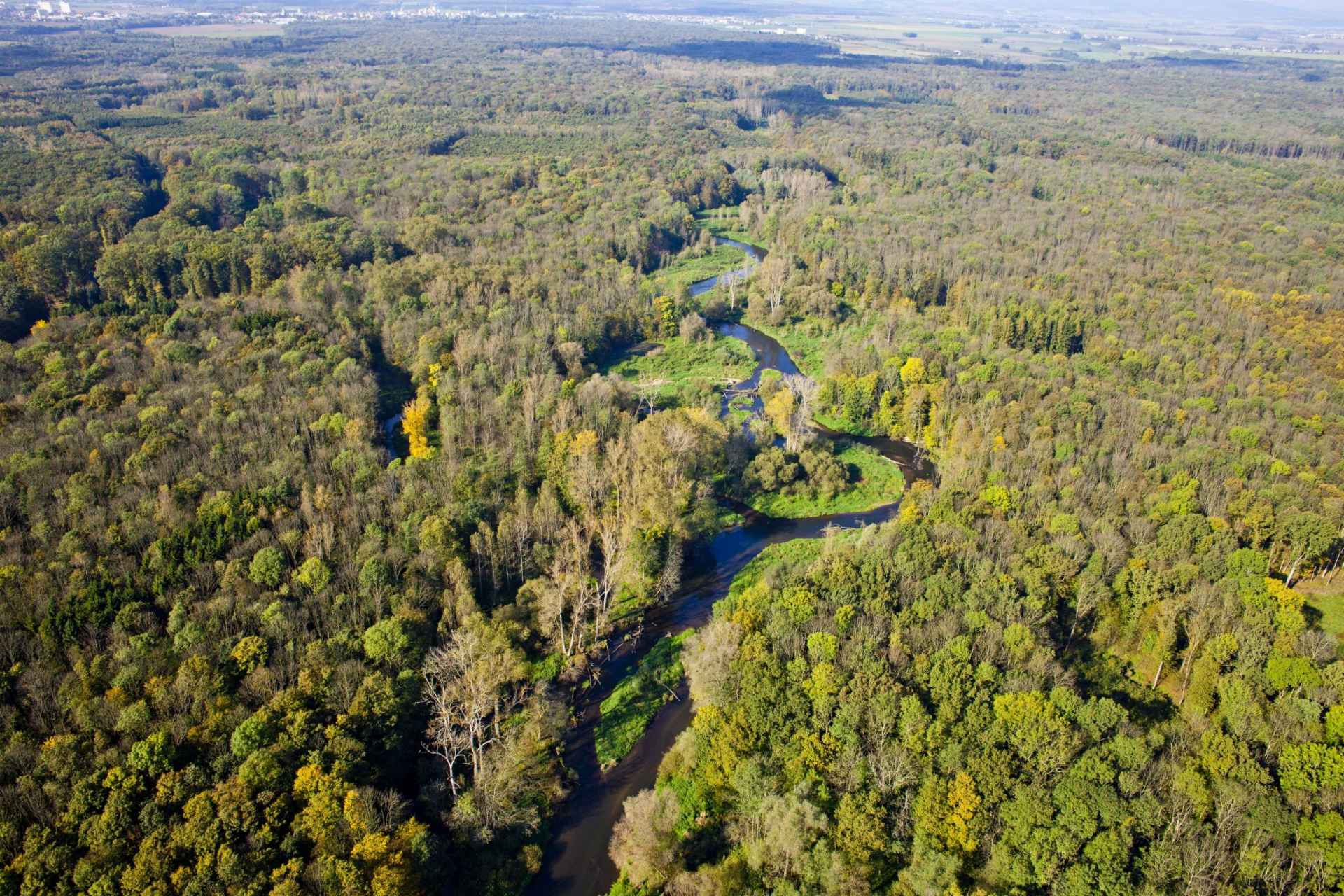
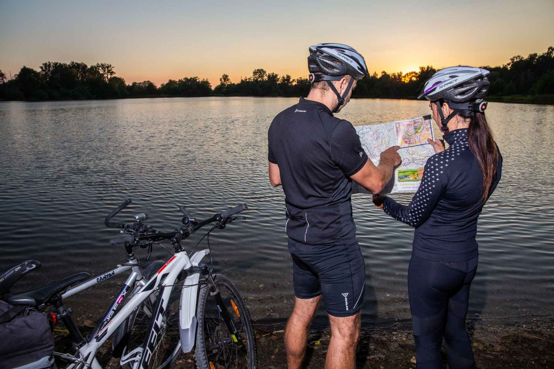
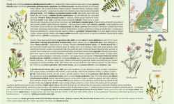
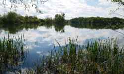
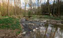
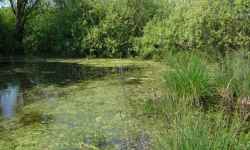
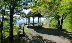
Plan route Litovelské Pomoraví Protected Landscape AreaExplore the unique nature of the Litovelské Pomoraví Protected Landscape Area on foot, by bike or from a raft!The protected landscape area extends from Olomouc, through Litovel to Mohelnice. Along its route you will come across many attractive places worth visiting:
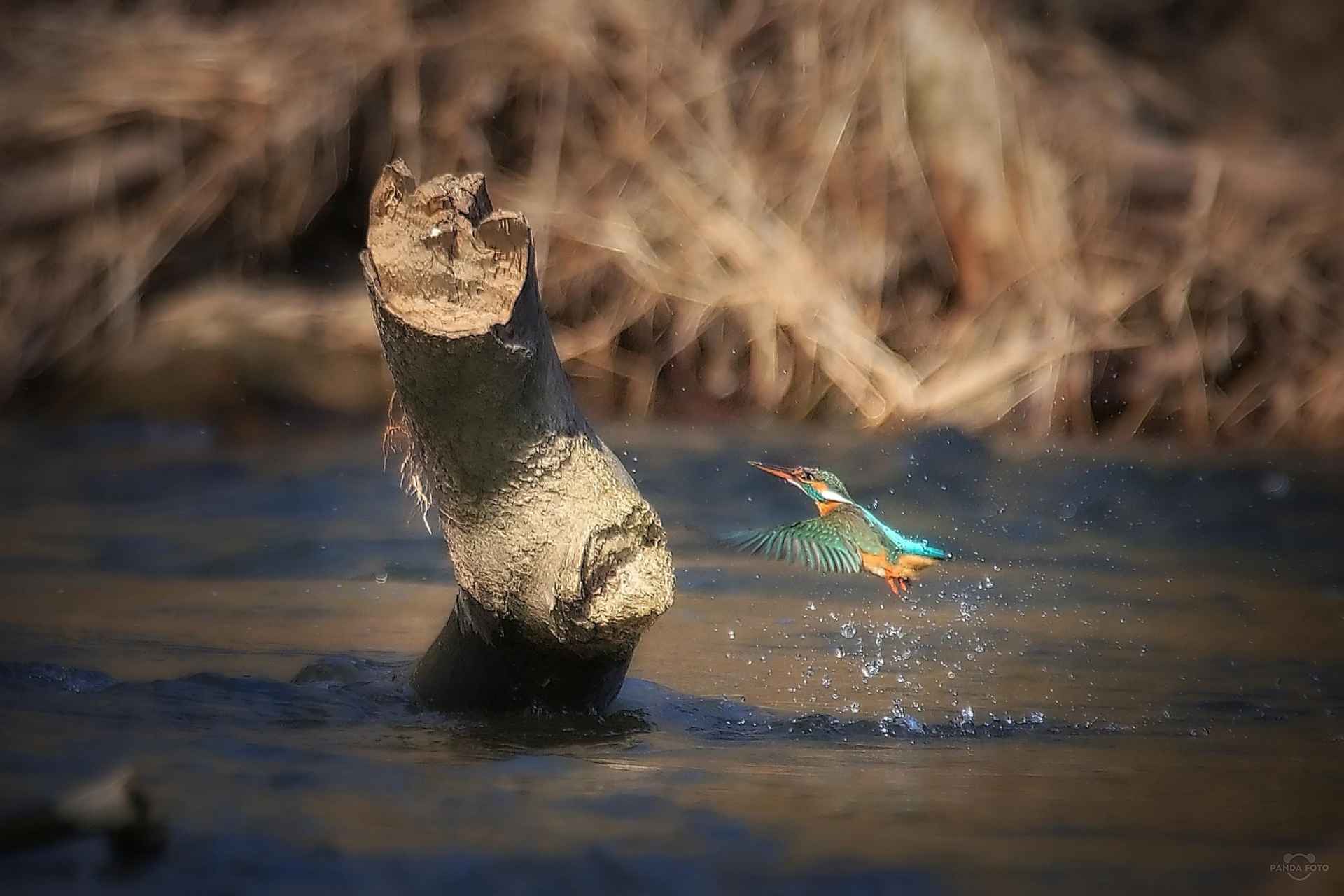
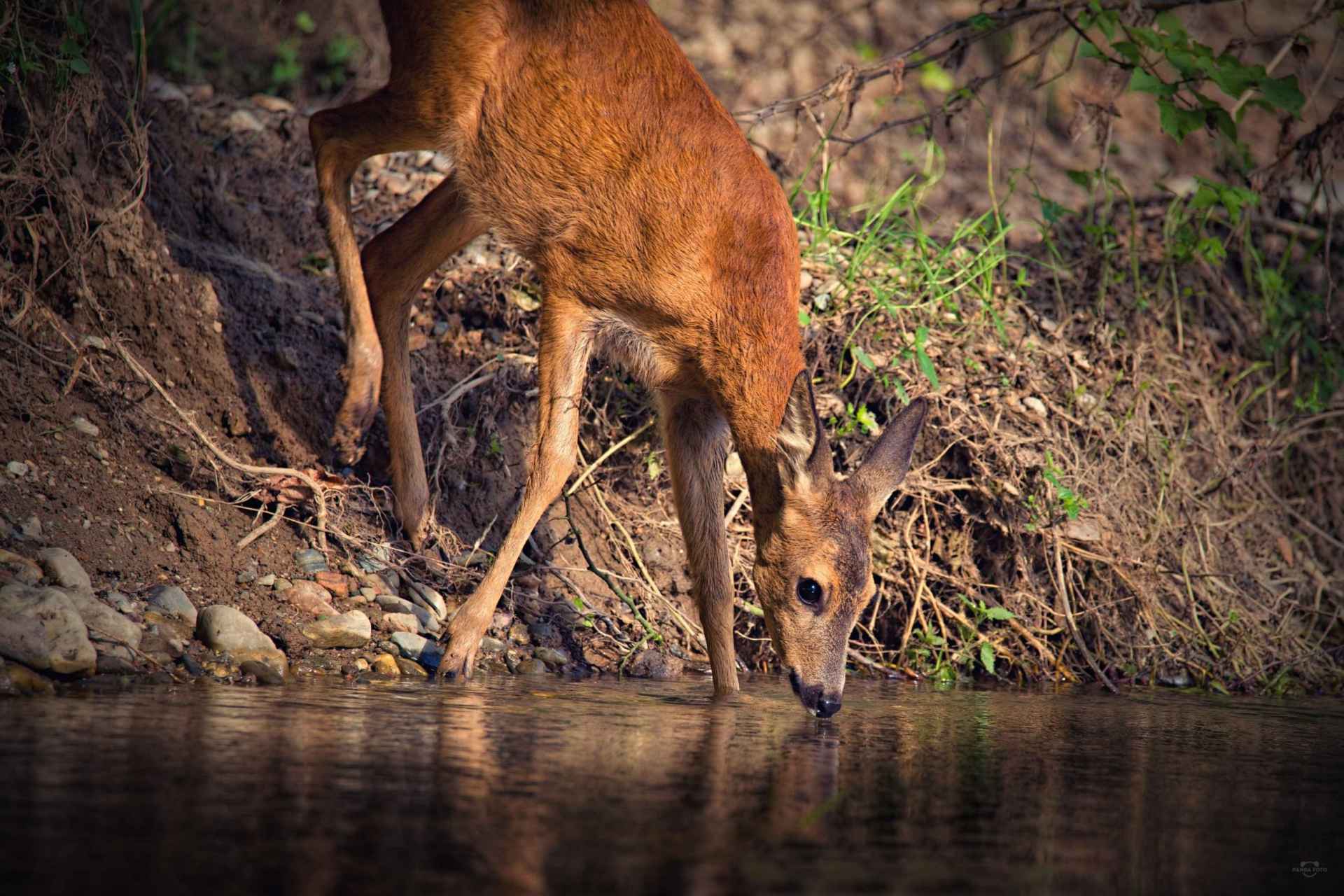
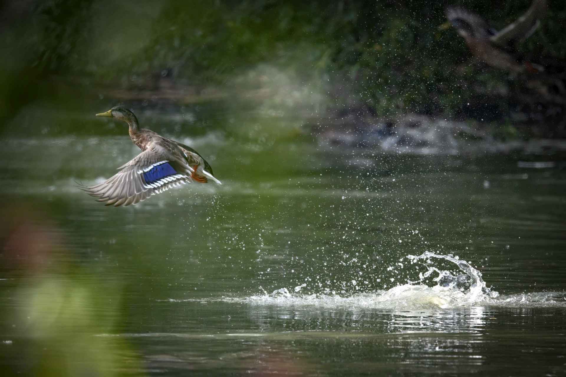
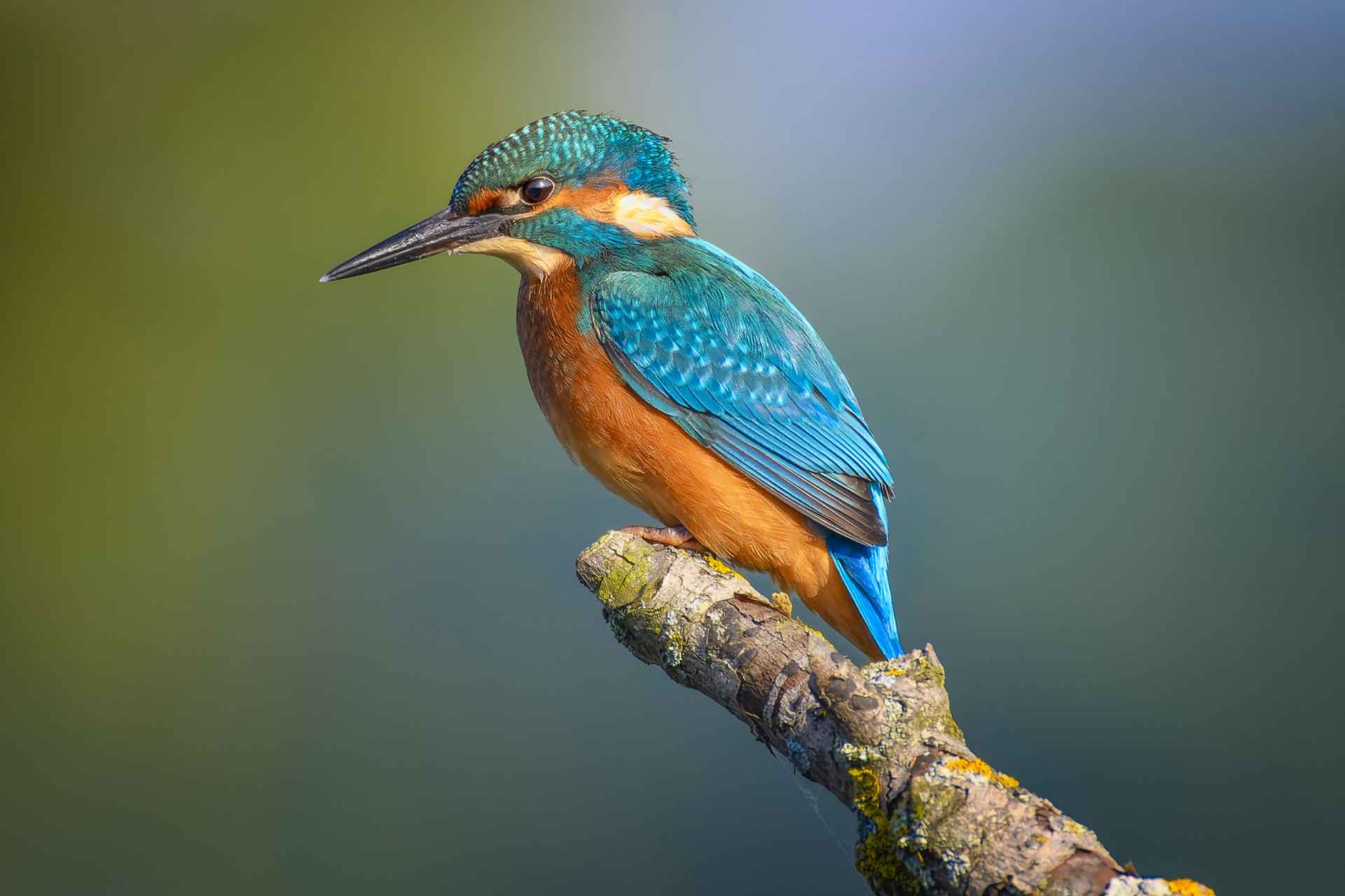
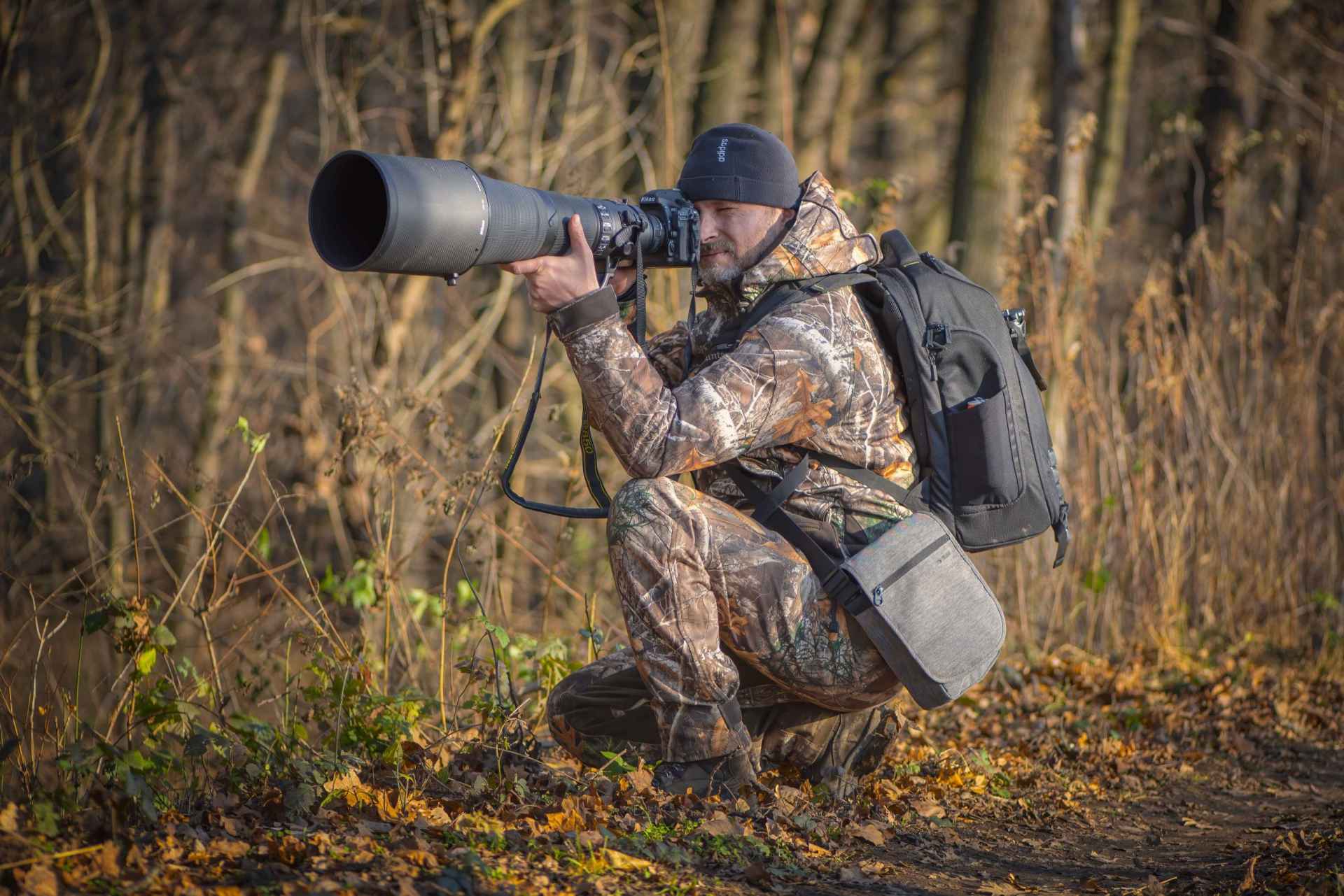
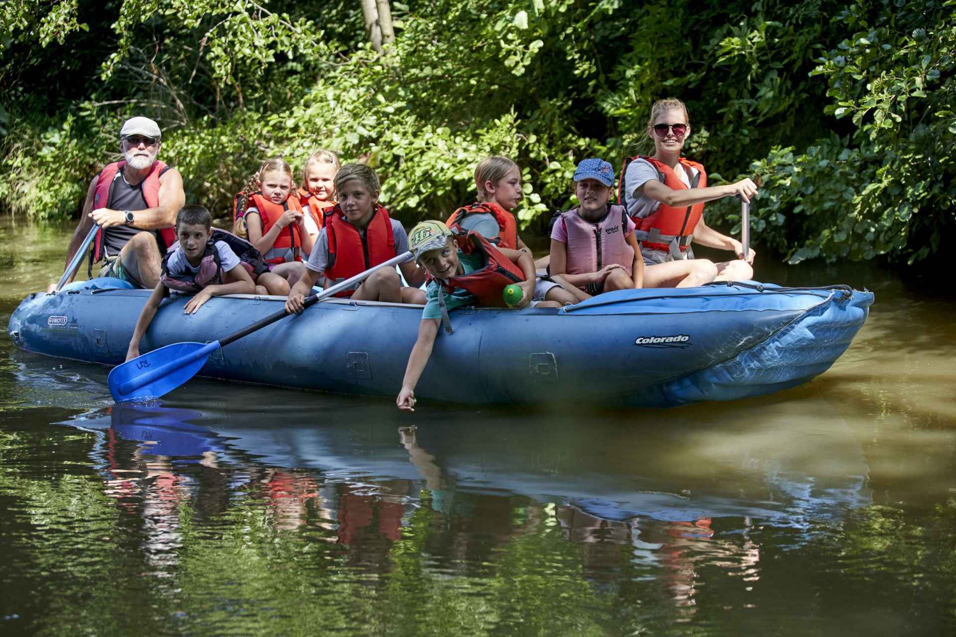
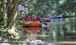
We definitely recommend driving a few kilometres to the Lavender Farm in Bezděkov. Also make sure to stop by Loštice - the Tvarůžky Museum and the original Tvarůžky confectionery. The area is crossed by several trails for hikers and cyclists. If you are looking for a less traditional way to explore the local nature, hop on the back of a Forman wagon or have IN LIFE bring your boat to one of the boating points and float the most beautiful stretch of the Morava River. The protected landscape area consists of an extensive complex of floodplain forests and meadows, which is unique in Europe. The natural phenomenon of the whole area is the inland river delta of the Morava River, along which you will pass many rare animals and plants. 0%
| ||||||||||||||||||||||||||||||||||||||||||||||||


The system of interactive links for individual records in selected modules within the project Central Moravia - mainly quiet (2024) was implemented with the support of the state budget of the Czech Republic from the programme of the Ministry for Regional Development.
The optimization of the website and the online campaign within the project Adrenalin after ours (2023) were realized with the contribution of the state budget of the Czech Republic from the programme of the Ministry for Regional Development.
The website was created within the framework of the project Marketing TO Central Moravia 2020 implemented with the contribution of the state budget of the Czech Republic from the programme of the Ministry for Regional Development.
The operation and activities of Střední Morava – Sdružení cestovního ruchu (Central Moravia – Tourism Association) were supported by funds from the Czech Republic's state budget under a program of the Ministry of Regional Development of the Czech Republic.