                     aktuálně 0.0 °C Adresa: Hrubá Voda 104 783 61 Hlubočky - Hrubá Voda Okres Olomouc, Olomoucký kraj Česko | Contact: 585 100 406
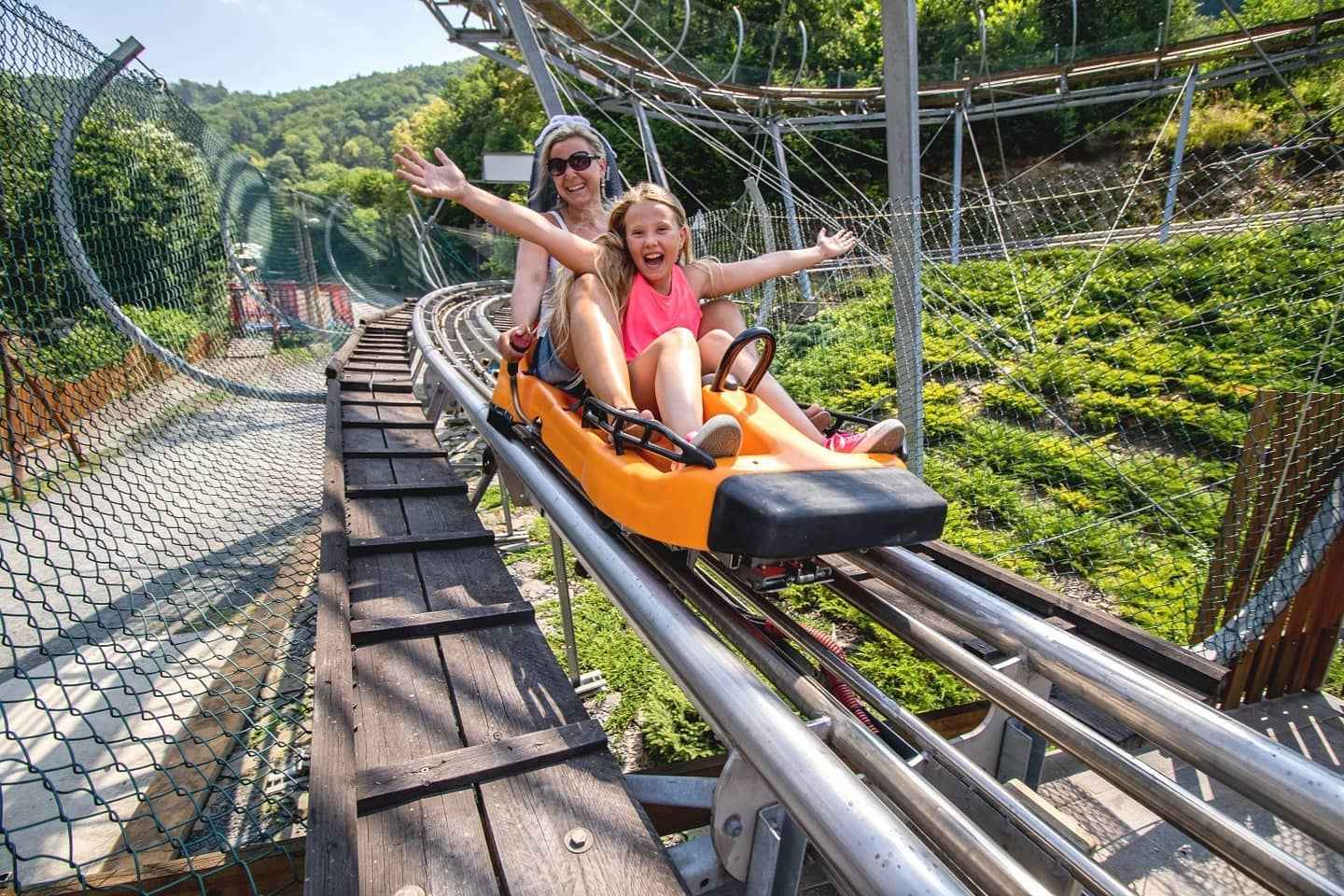
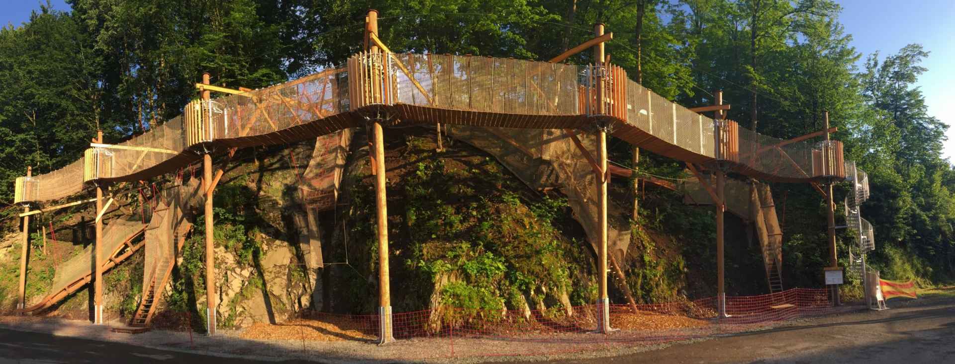
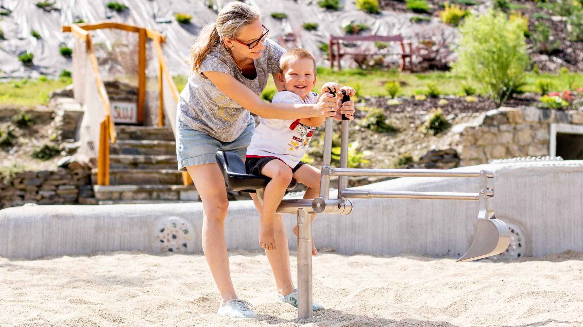
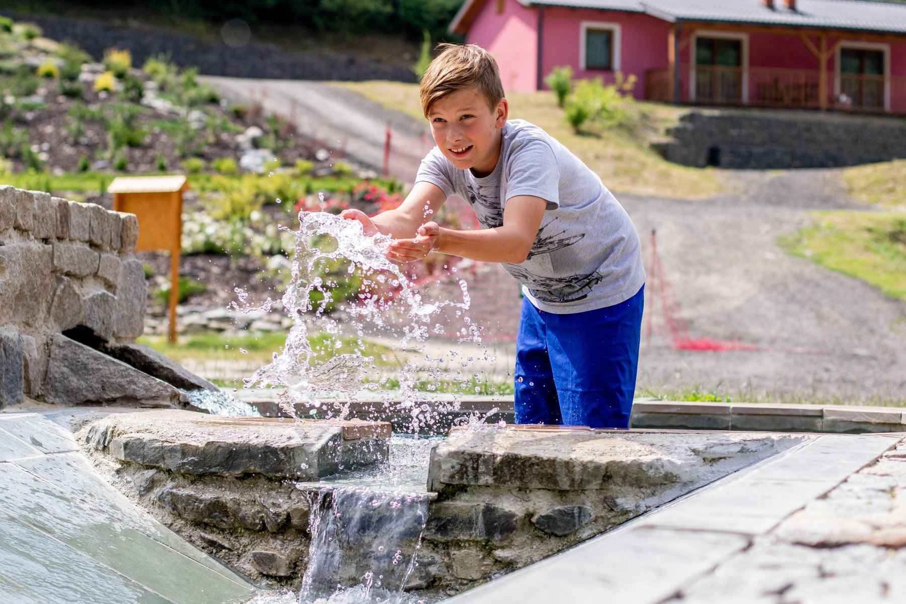
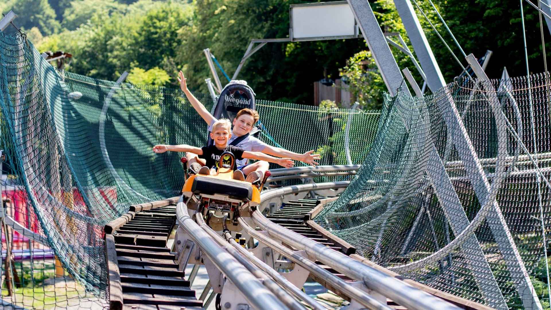
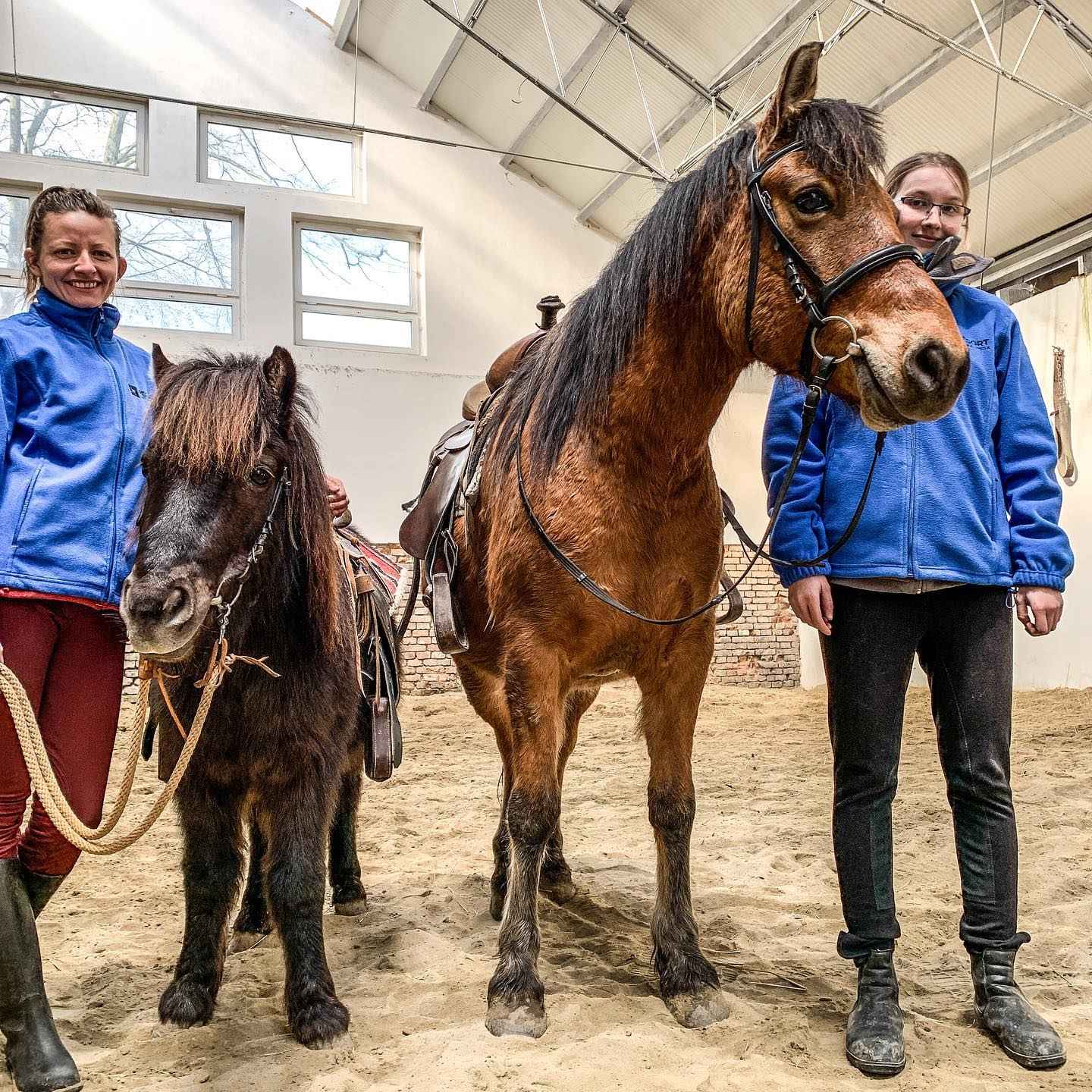
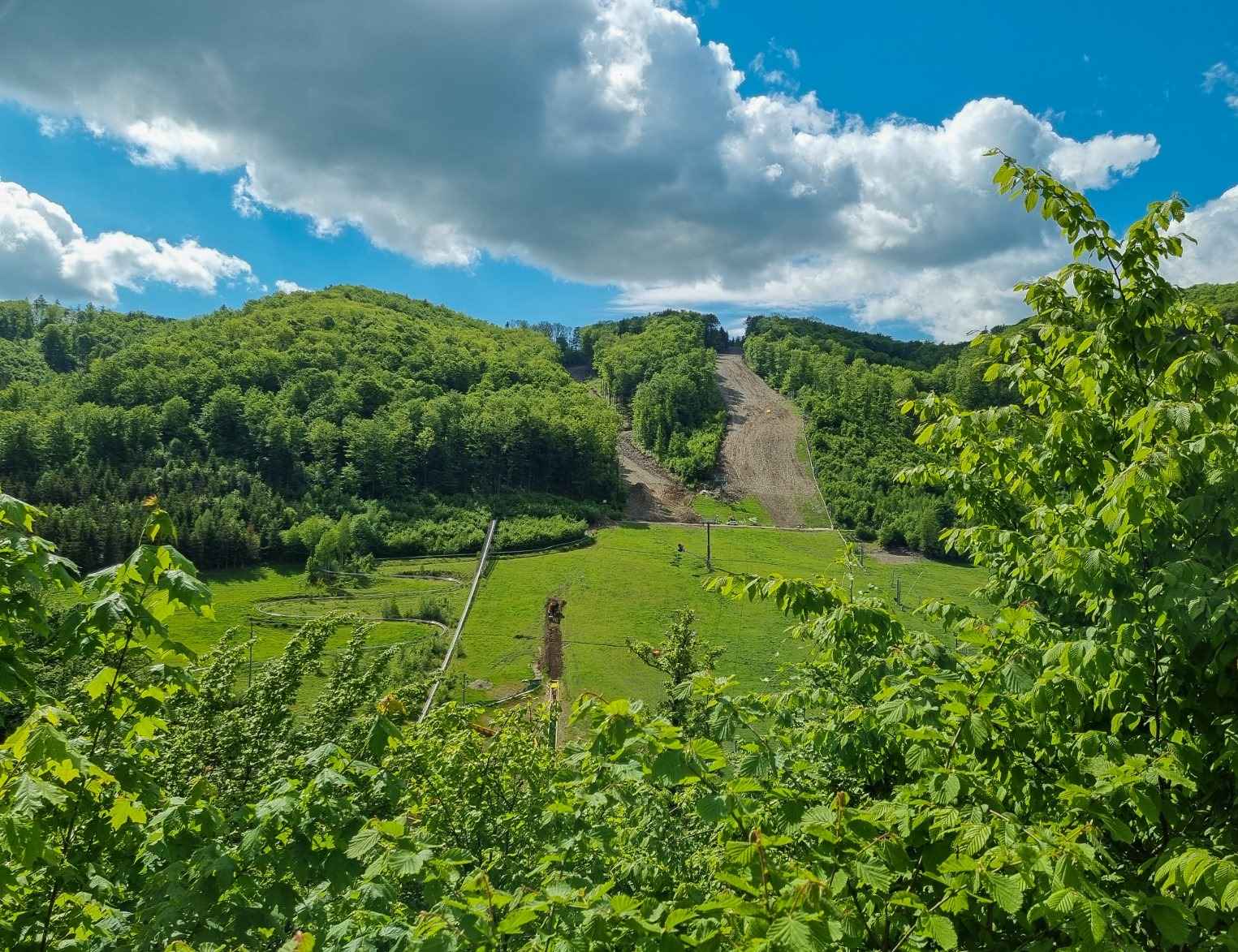
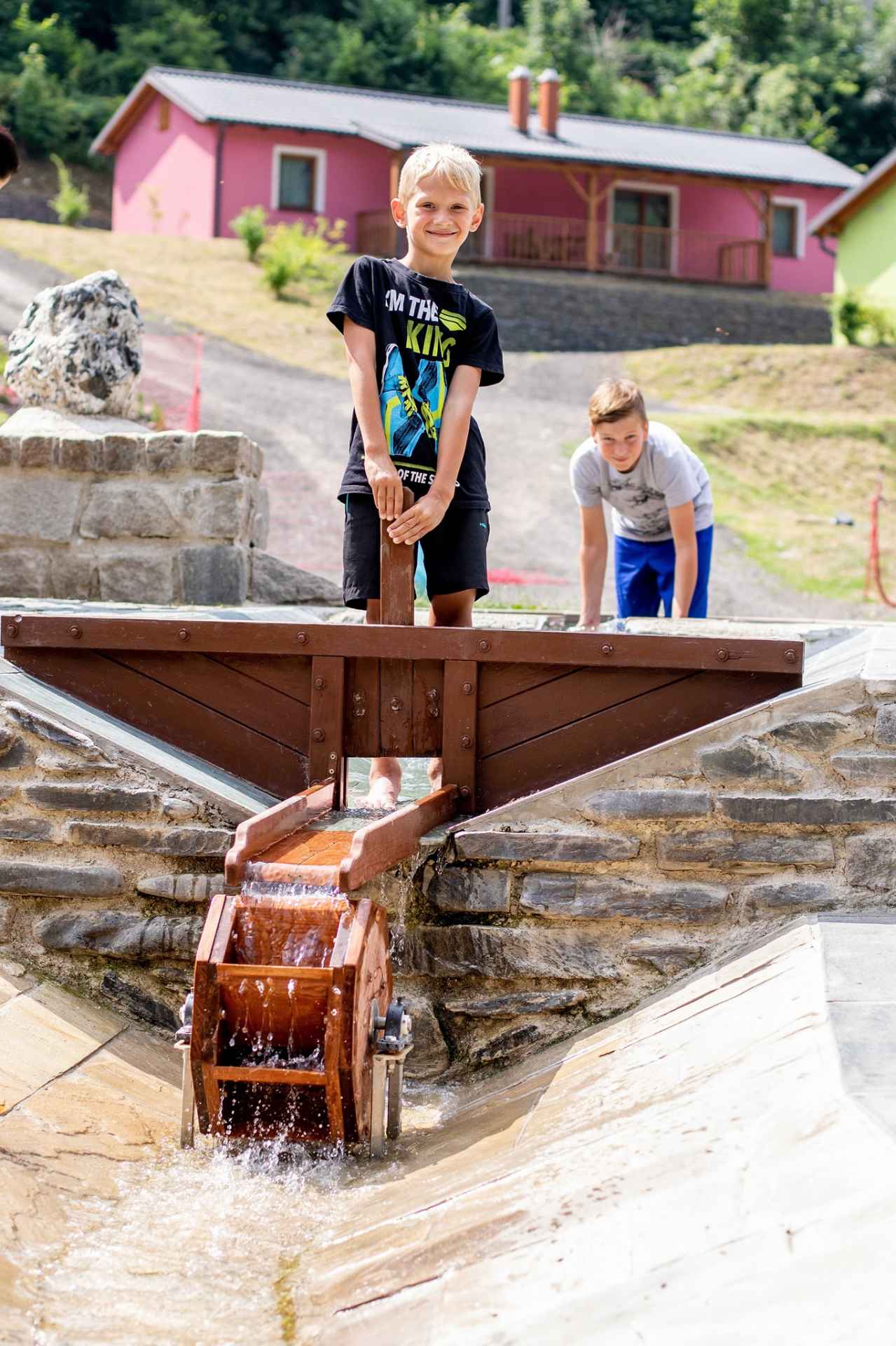
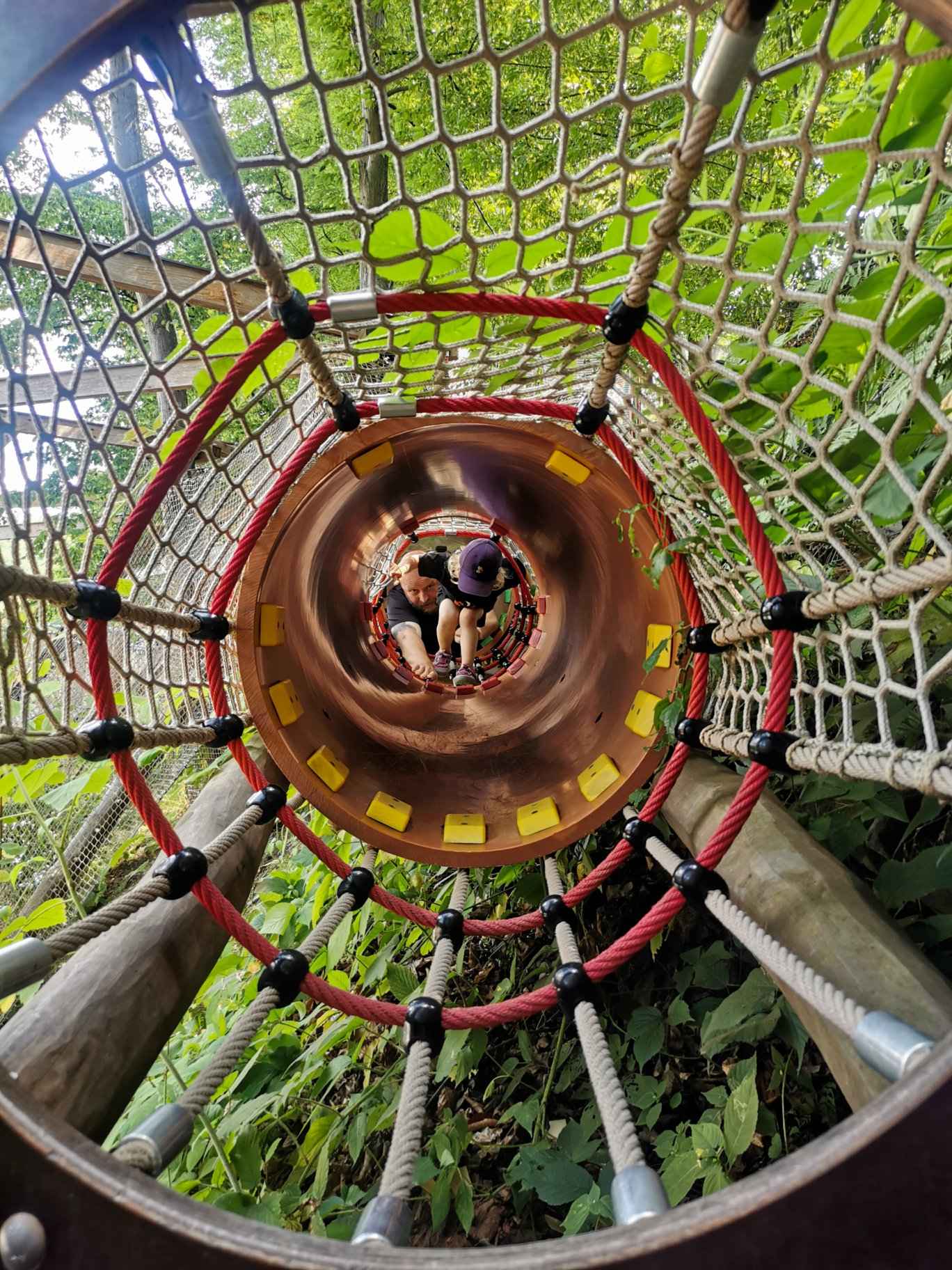
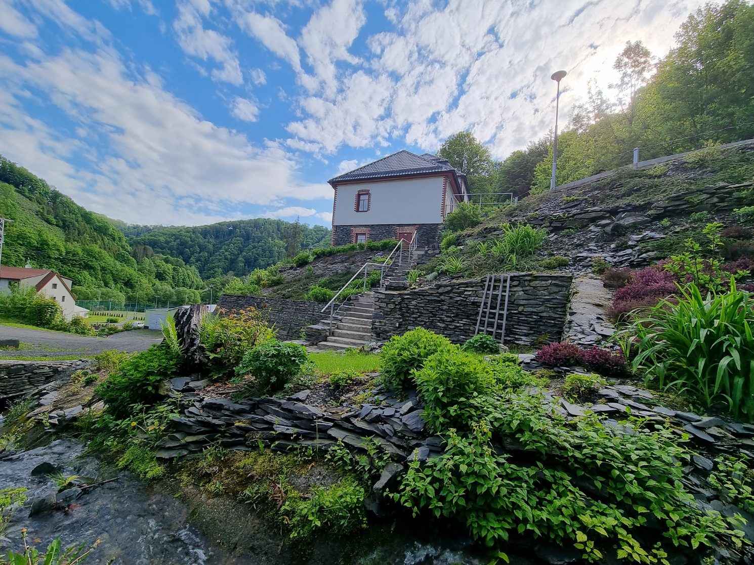
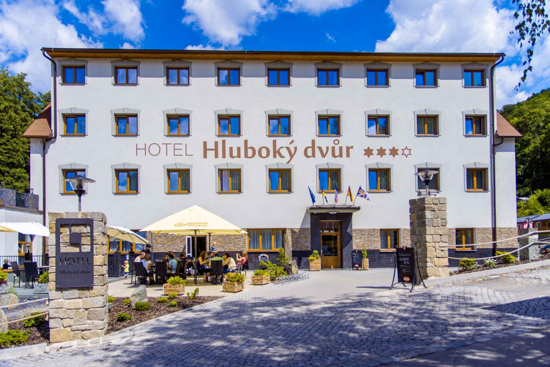
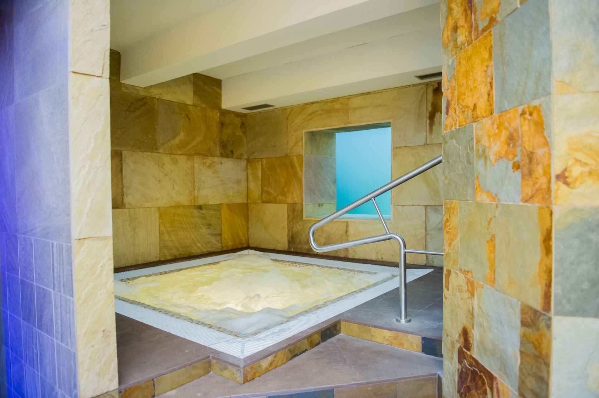
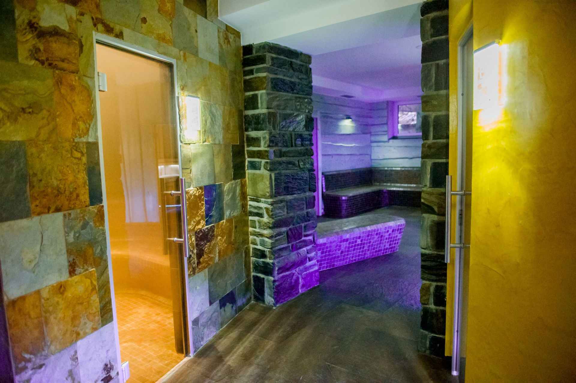
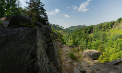
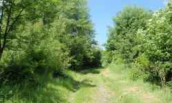
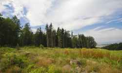
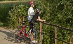
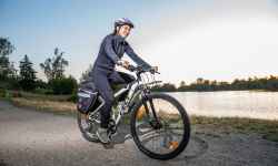
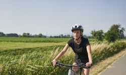
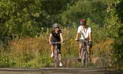
Resort Hrubá VodaIn the modern sports and recreation complex, in the quiet natural environment of the Bystřice Valley Nature Park, you can have fun with the whole family in the summer and winter seasons.The biggest attraction is the adrenaline experience on the bobsleigh track. The track is 851 m long and you can reach speeds of up to 40 km/h in the two-seater bobsleds. But don't worry, the bobsleighs are perfectly safe for children and you can regulate the speed yourself. The Kamik Trail at 13 m is also a great experience. And what else? You can ride horses, children can ride ponies, jump on the bungee trampoline, play disc golf, rent bikes, and electric bikes, or practice archery. You can also enjoy the new tubing track, which goes down on inflatable bikes. You can spend a weekend or even a whole week with the your family! Several types of accommodation, including a wellness center, a sauna arena, and a restaurant are available. The resort lays in the calm nature near Olomouc. 0%
| ||||||||||||||||||||||||||||||||||||||||||||||||

The system of interactive links for individual records in selected modules within the project Central Moravia - mainly quiet (2024) was implemented with the support of the state budget of the Czech Republic from the programme of the Ministry for Regional Development.
The optimization of the website and the online campaign within the project Adrenalin after ours (2023) were realized with the contribution of the state budget of the Czech Republic from the programme of the Ministry for Regional Development.
The website was created within the framework of the project Marketing TO Central Moravia 2020 implemented with the contribution of the state budget of the Czech Republic from the programme of the Ministry for Regional Development.
The operation and activities of Střední Morava – Sdružení cestovního ruchu (Central Moravia – Tourism Association) were supported by funds from the Czech Republic's state budget under a program of the Ministry of Regional Development of the Czech Republic.