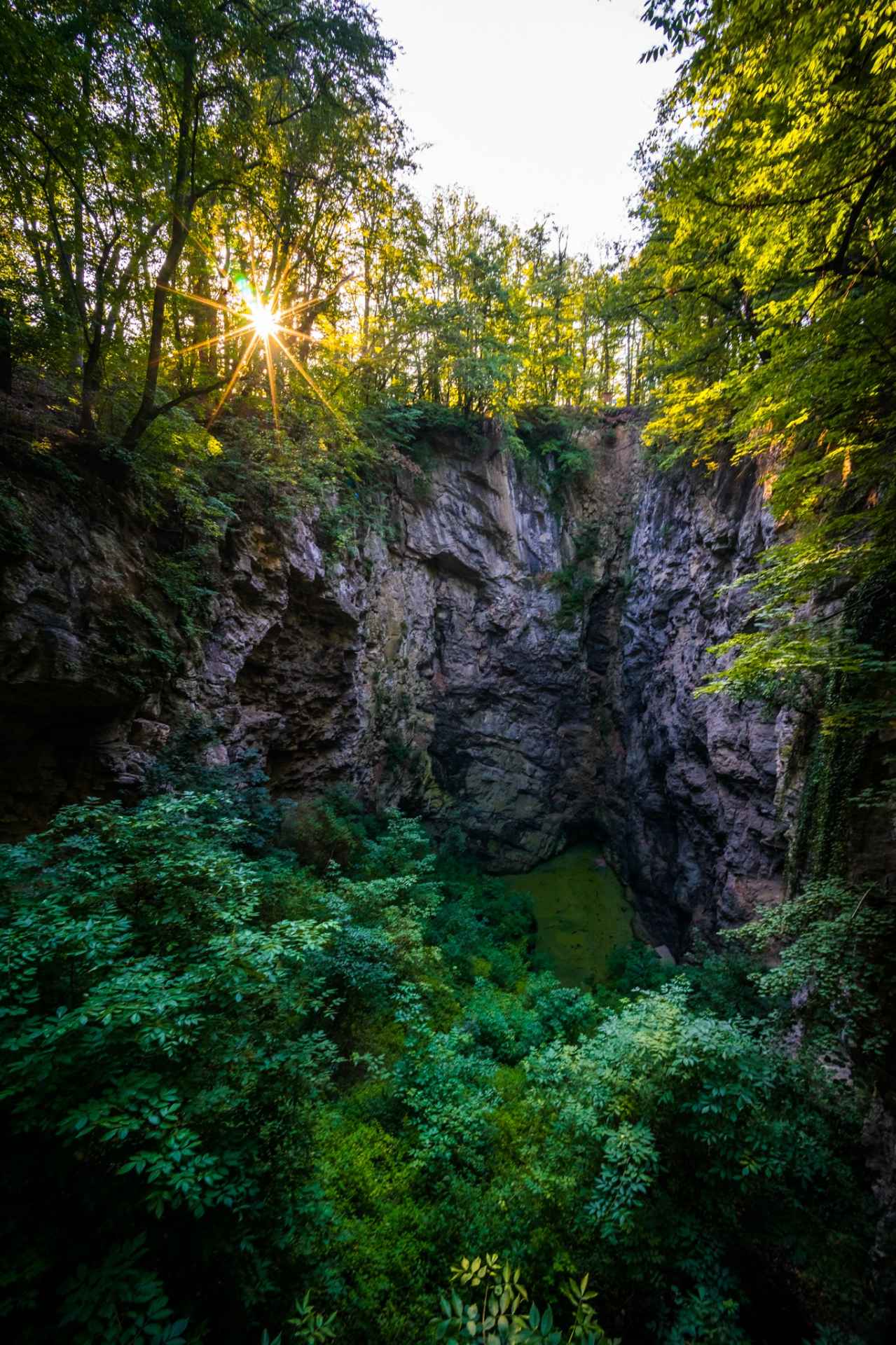
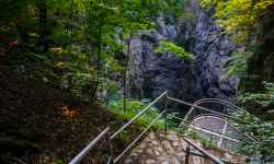
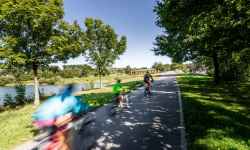
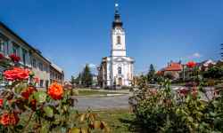
  aktuálně 0.0 °C | The Hranice AbyssBetween the villages of Hranice and Teplice nad Bečvou lies a unique area made up of primordial limestone, called the Hranice Karst. Among the most interesting things you can see here are the Zbrašov Aragonite Caves and the Hranice Abyss - the deepest flooded abyss in the world.The abyss can be reached on foot along the Hůrka nature trail, which leads from the Teplice nad Bečvou railway station. Don't forget to stop by the station building, which now serves as a tourist information centre! Thanks to 3D glasses, you can see into the abyss directly from here. The uniqueness of the local karst lies in its geological development, where the formation of karst phenomena was caused not only by normal precipitation but also by the outpouring of warm carbonic acid. The dry part of the abyss is 69.5 m deep, but most of the area is below the water level, the bottom has not yet been reached. The first professional measurement was made in 1902 using a plumb bob. Since the second half of the 20th century, the Hranice Abyss has been explored by diving. A measurement from September 2016, carried out by deep divers led by Krysztof Starnawski and with the help of a robot that reached a depth of 404 metres, proved that the Hranice Abyss is the deepest flooded cave in the world. The remote-controlled robot did not reach the bottom, stopped by the length of the control cable. With the addition of the dry part, the depth of the abyss was determined to be 473.5 metres. Geologists estimate the possible depth of the Hranice Abyss at 700 to 1,000 metres. 0%
| ||||||||||||||||||||||||||||||||||||||||||||||||


The system of interactive links for individual records in selected modules within the project Central Moravia - mainly quiet (2024) was implemented with the support of the state budget of the Czech Republic from the programme of the Ministry for Regional Development.
The optimization of the website and the online campaign within the project Adrenalin after ours (2023) were realized with the contribution of the state budget of the Czech Republic from the programme of the Ministry for Regional Development.
The website was created within the framework of the project Marketing TO Central Moravia 2020 implemented with the contribution of the state budget of the Czech Republic from the programme of the Ministry for Regional Development.
The operation and activities of Střední Morava – Sdružení cestovního ruchu (Central Moravia – Tourism Association) were supported by funds from the Czech Republic's state budget under a program of the Ministry of Regional Development of the Czech Republic.