|
aktuálně 0.0 °C Adresa: Naplánovat trasuMasarykovo náměstí 71 Hranice - Hranice I-Město Okres Přerov, Olomoucký kraj Česko | Contact: 778 712 622
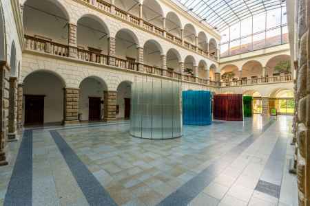
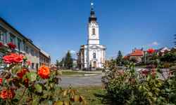
Museum HraniceMuseum exhibitions are presented in three exceptional buildings - the castle, the former synagogue and the Old Town Hall.In the Museum at the Chateau you can see a model of the historical centre of Hranice and an exhibition of firearms and cold weapons. The castle is also home to an information centre, where be sure to ask to climb the 38-metre-high observation tower of the Old Town Hall. In addition to the climb itself, you'll find an exhibition of historic chests that served as trunks, safes, cabinets, and even secret toilets. In the Synagogue Gallery, you can get acquainted with modern Czech and Slovak art and occasionally listen to a concert of instrumental or vocal music. 0%
| ||||||||||||||||||||||||||||||||||||||||||||||||
The system of interactive links for individual records in selected modules within the project Central Moravia - mainly quiet (2024) was implemented with the support of the state budget of the Czech Republic from the programme of the Ministry for Regional Development.
The optimization of the website and the online campaign within the project Adrenalin after ours (2023) were realized with the contribution of the state budget of the Czech Republic from the programme of the Ministry for Regional Development.
The website was created within the framework of the project Marketing TO Central Moravia 2020 implemented with the contribution of the state budget of the Czech Republic from the programme of the Ministry for Regional Development.
The operation and activities of Střední Morava – Sdružení cestovního ruchu (Central Moravia – Tourism Association) were supported by funds from the Czech Republic's state budget under a program of the Ministry of Regional Development of the Czech Republic.
