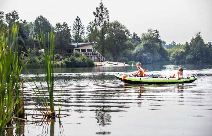
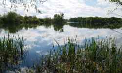
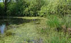
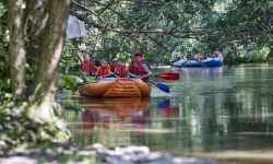
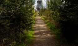
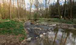
 Adresa: Olomouc | Natural swimming pool PoděbradyTwo lakes, pebble and grass beaches, a restaurant or boat rental? Come and enjoy a day in Poděbrady with the whole family!The natural swimming pool at Poděbrady is located only 6 km from Olomouc and offers a large water area with adjacent beaches or a nudist beach. There is a restaurant and other refreshment options on site, and the facilities also provide toilets. You can brighten up your day with a cruise on the boats available for rent here. 0%
| ||||||||||||||||||||||||||||||||||||||||||||||||


The system of interactive links for individual records in selected modules within the project Central Moravia - mainly quiet (2024) was implemented with the support of the state budget of the Czech Republic from the programme of the Ministry for Regional Development.
The optimization of the website and the online campaign within the project Adrenalin after ours (2023) were realized with the contribution of the state budget of the Czech Republic from the programme of the Ministry for Regional Development.
The website was created within the framework of the project Marketing TO Central Moravia 2020 implemented with the contribution of the state budget of the Czech Republic from the programme of the Ministry for Regional Development.
The operation and activities of Střední Morava – Sdružení cestovního ruchu (Central Moravia – Tourism Association) were supported by funds from the Czech Republic's state budget under a program of the Ministry of Regional Development of the Czech Republic.