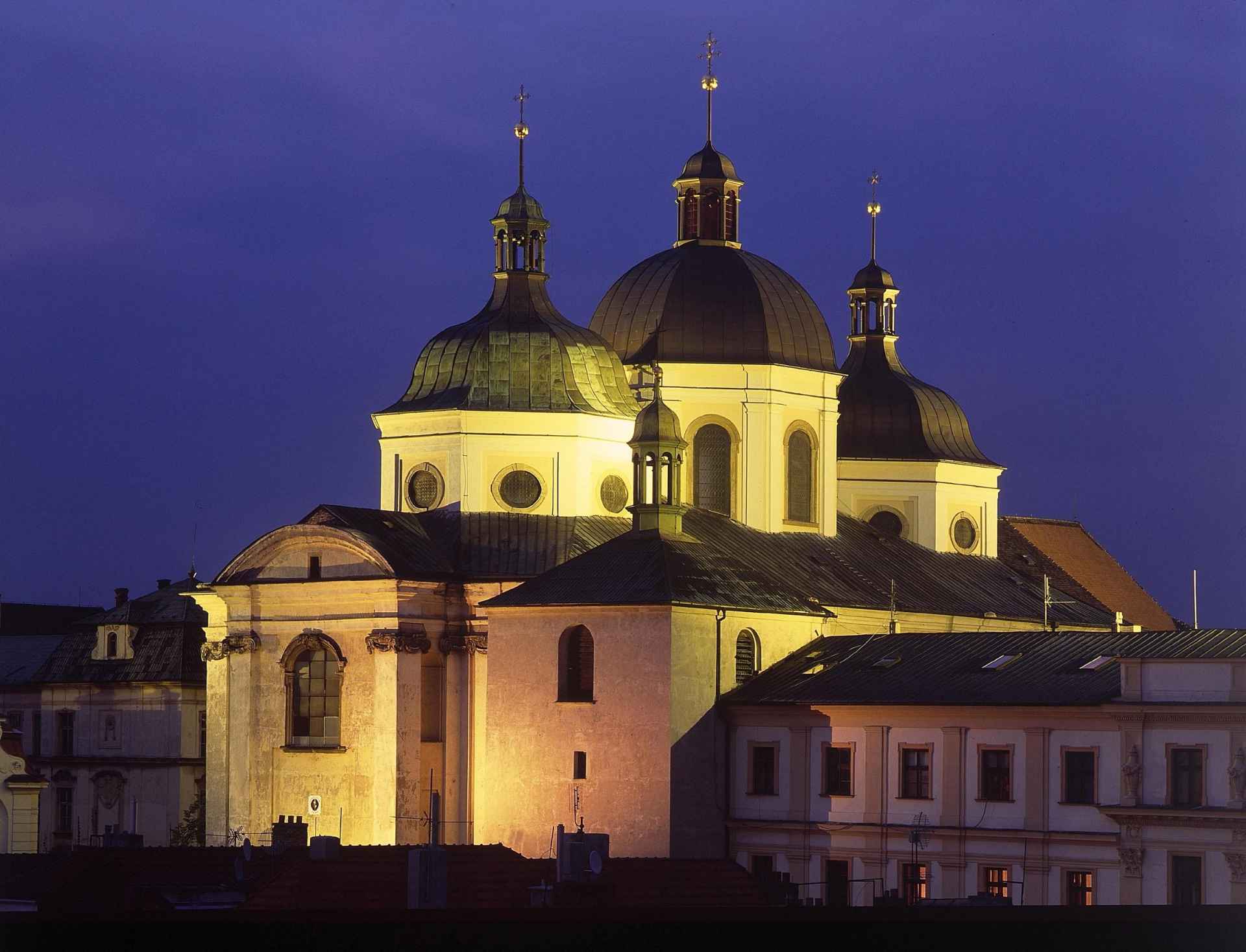
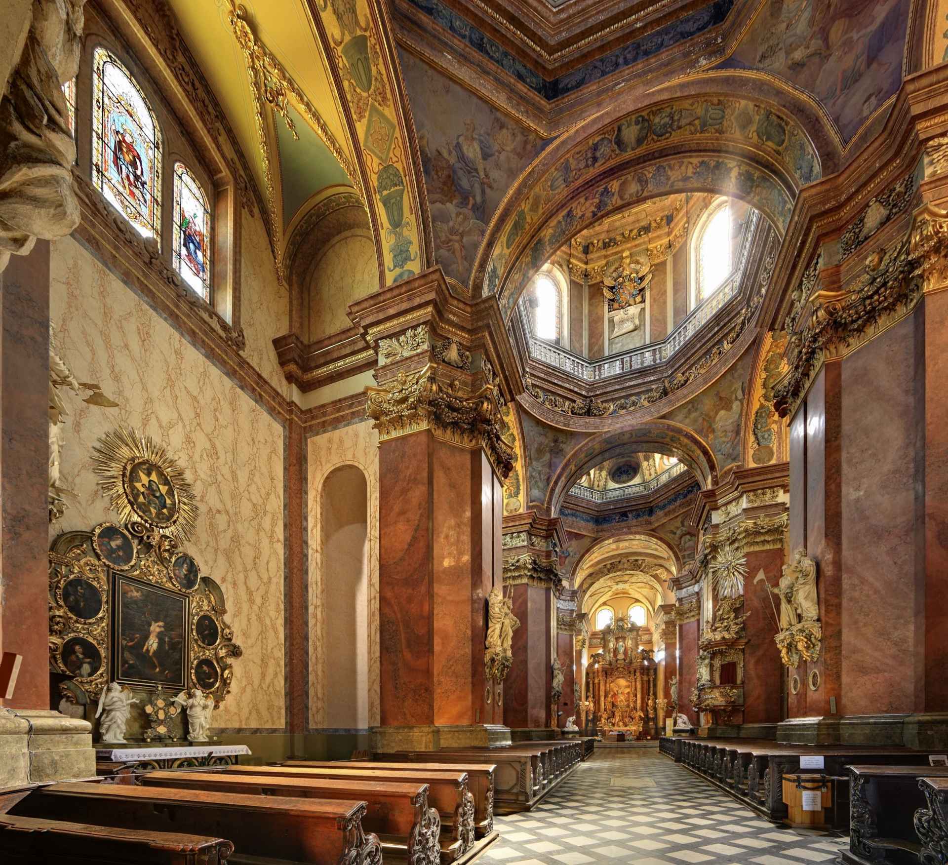
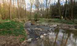
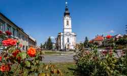
    aktuálně 12.1 °C polojasno 23.07. | oblačno | 20.7 °C 24.07. | zataženo | 20.9 °C 25.07. | zataženo | 25.8 °C | Contact:St. MichaelThe three domes of the Baroque church, which complete the characteristic panorama of the town, were the first such building in Moravia. The domes symbolize the Holy Trinity - Father, Son, and Holy Spirit. One of the most beautiful Baroque churches owes its present appearance to the Italian architects Giovanni Pietro Tencalla and Domenico Martinelli. The church itself is dedicated to the Archangel Michael, who is known from the Apocalypse as the Dragon Slayer of the Antichrist. During the tourist season, you can explore the rich interiors and continue past the art nouveau Villa Primavesi to the Chapel of St. John Sarkander or take a stroll through the park, where the steps near the church will take you. There are many other city sights, restaurants, and cafes within easy reach. 0%
| ||||||||||||||||||||||||||||||||||||||||||||||||


The system of interactive links for individual records in selected modules within the project Central Moravia - mainly quiet (2024) was implemented with the support of the state budget of the Czech Republic from the programme of the Ministry for Regional Development.
The optimization of the website and the online campaign within the project Adrenalin after ours (2023) were realized with the contribution of the state budget of the Czech Republic from the programme of the Ministry for Regional Development.
The website was created within the framework of the project Marketing TO Central Moravia 2020 implemented with the contribution of the state budget of the Czech Republic from the programme of the Ministry for Regional Development.
The operation and activities of Střední Morava – Sdružení cestovního ruchu (Central Moravia – Tourism Association) were supported by funds from the Czech Republic's state budget under a program of the Ministry of Regional Development of the Czech Republic.