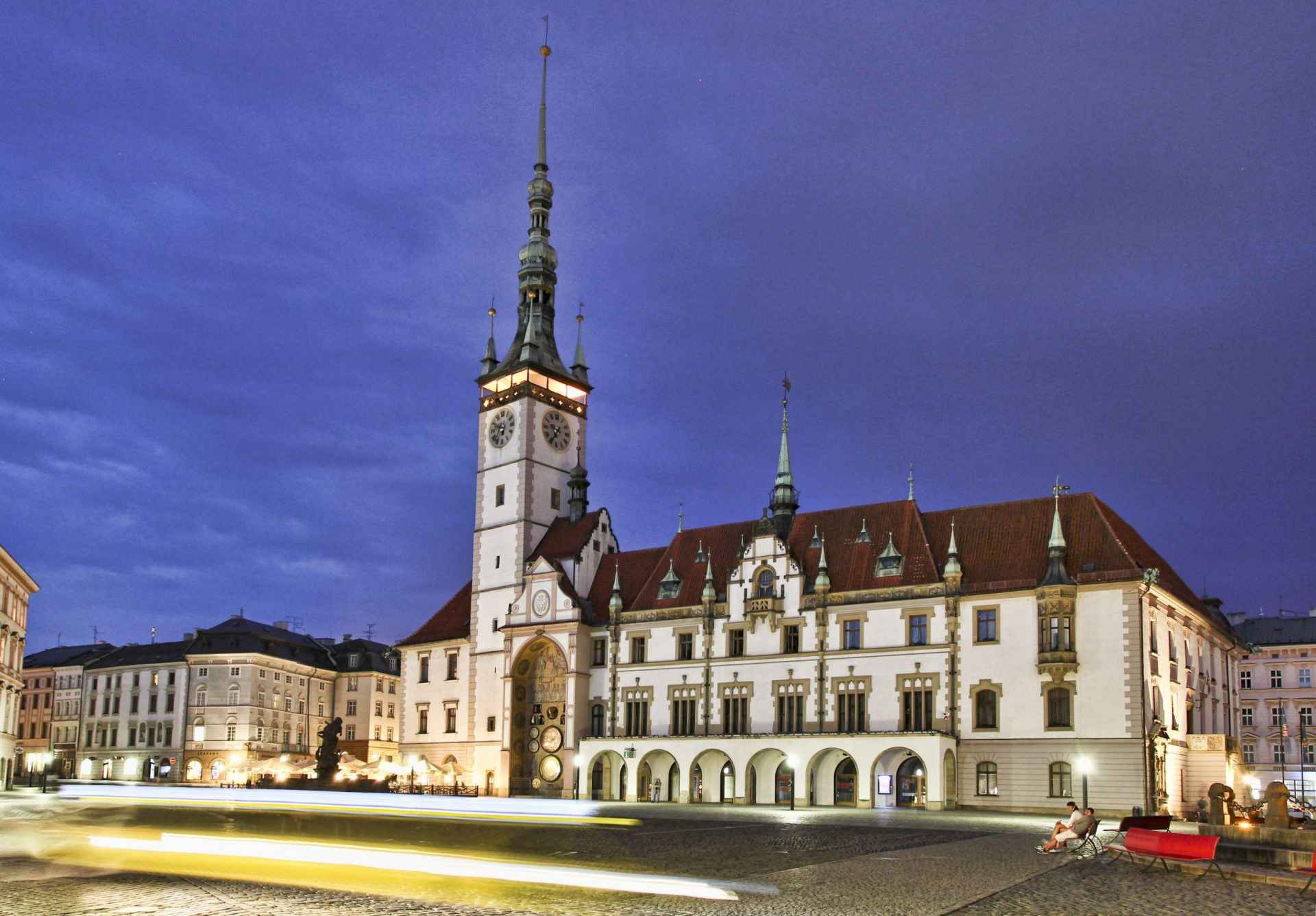
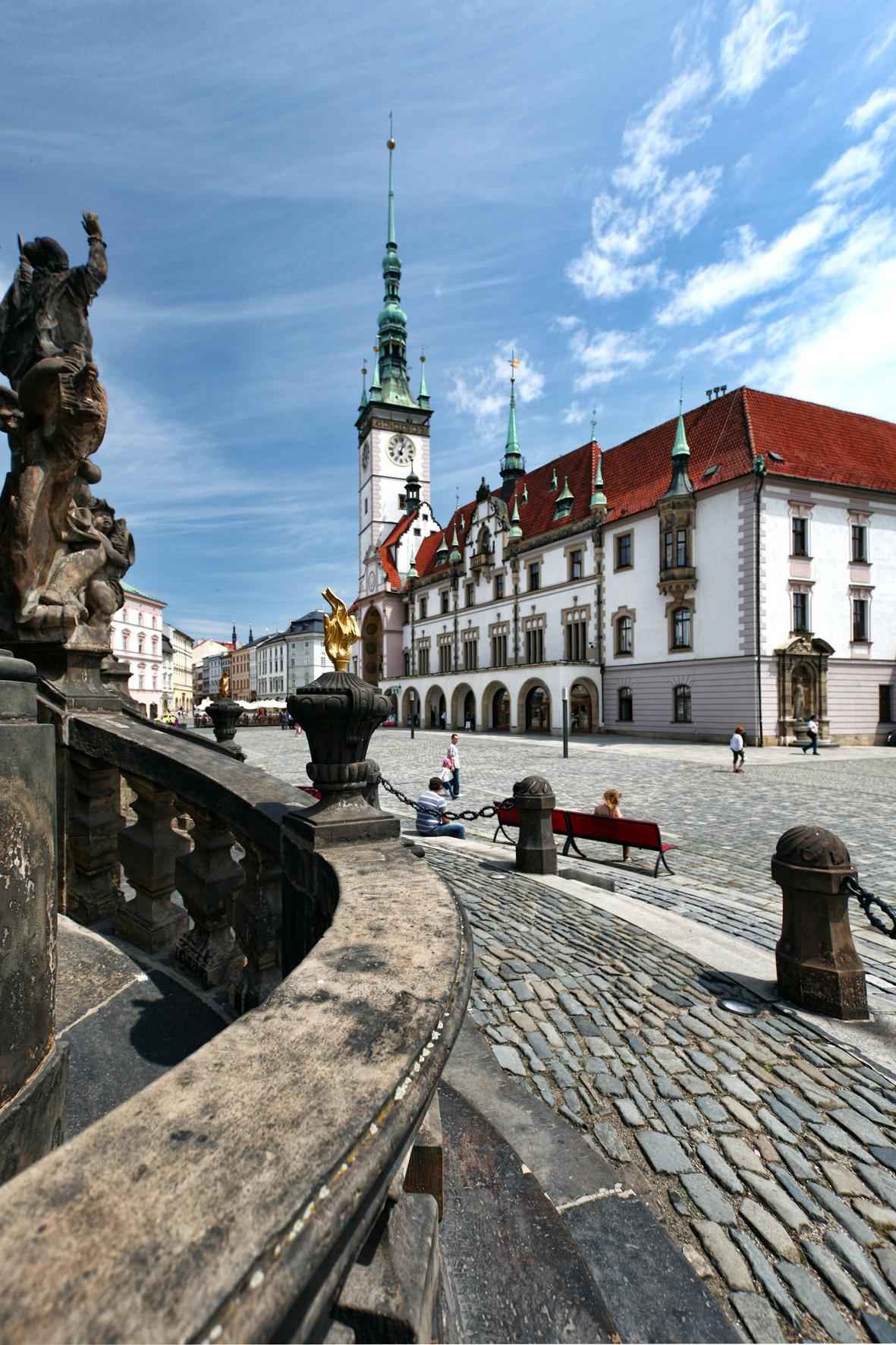
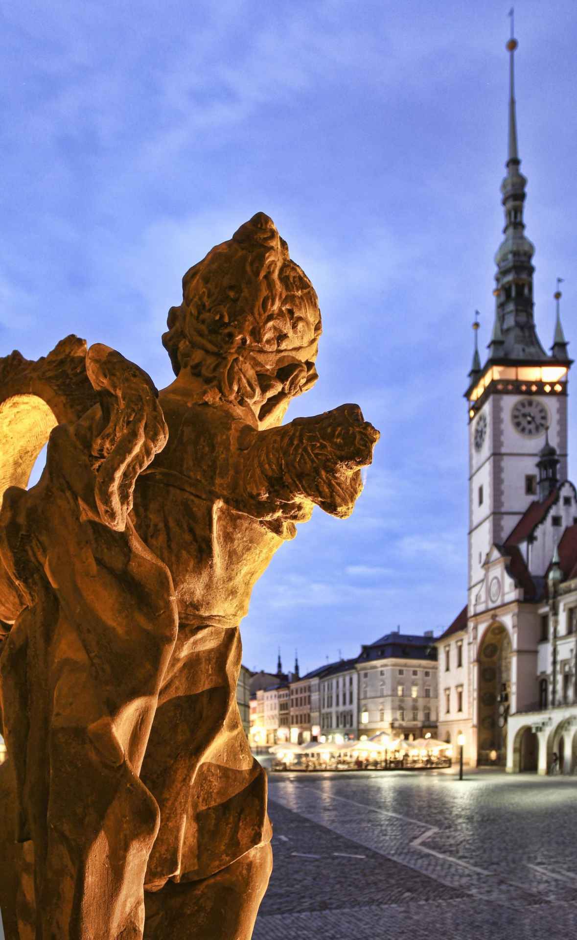
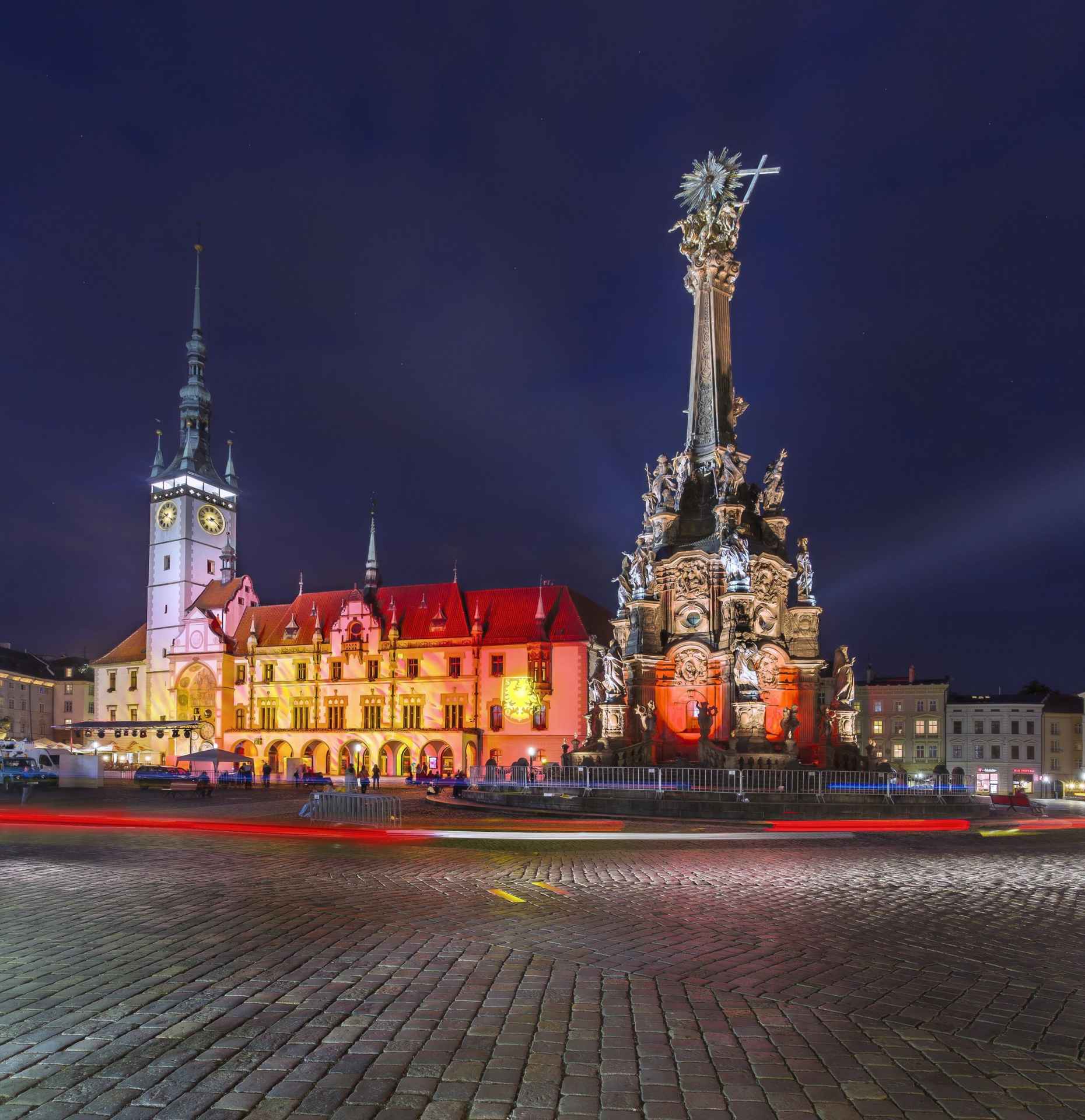
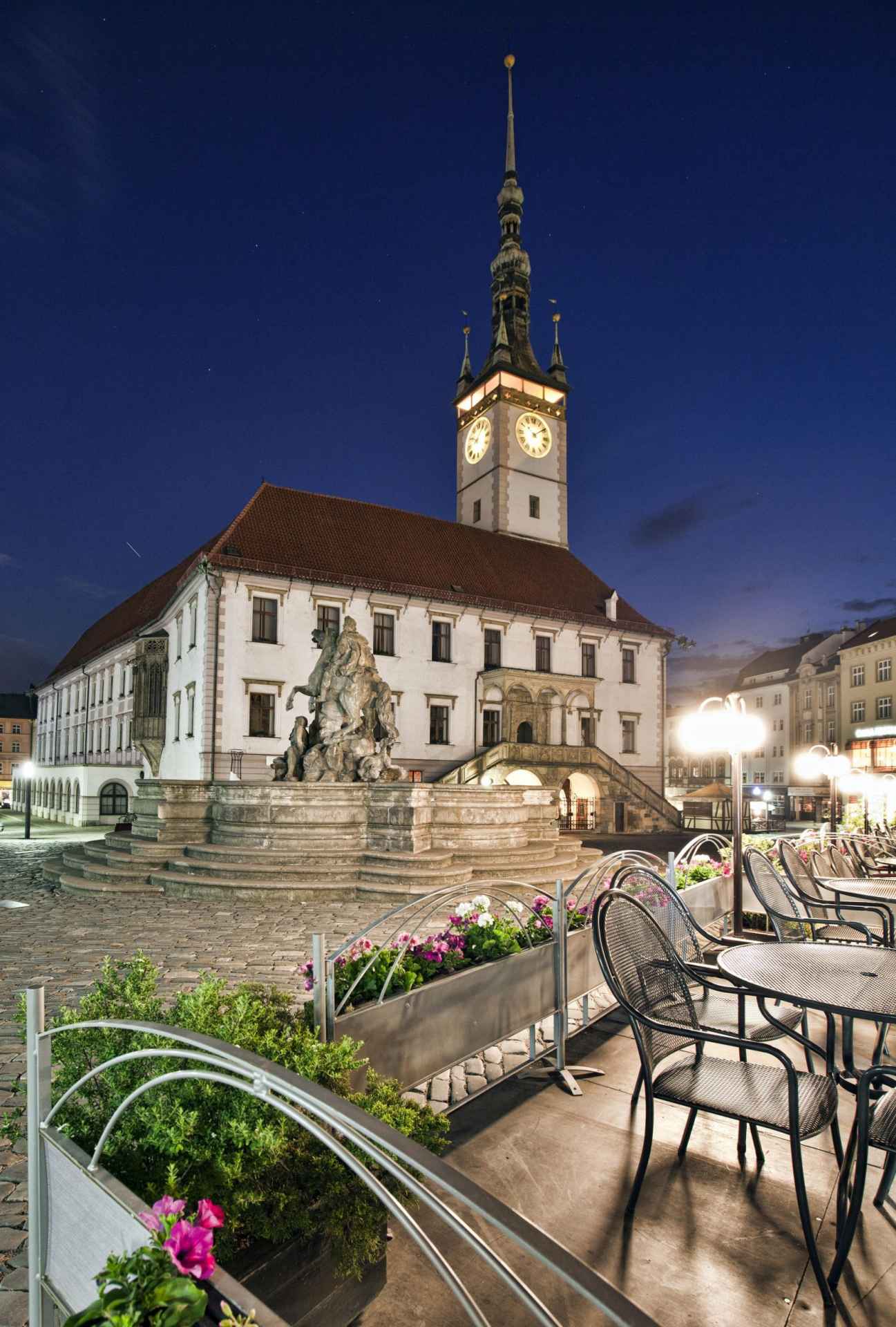
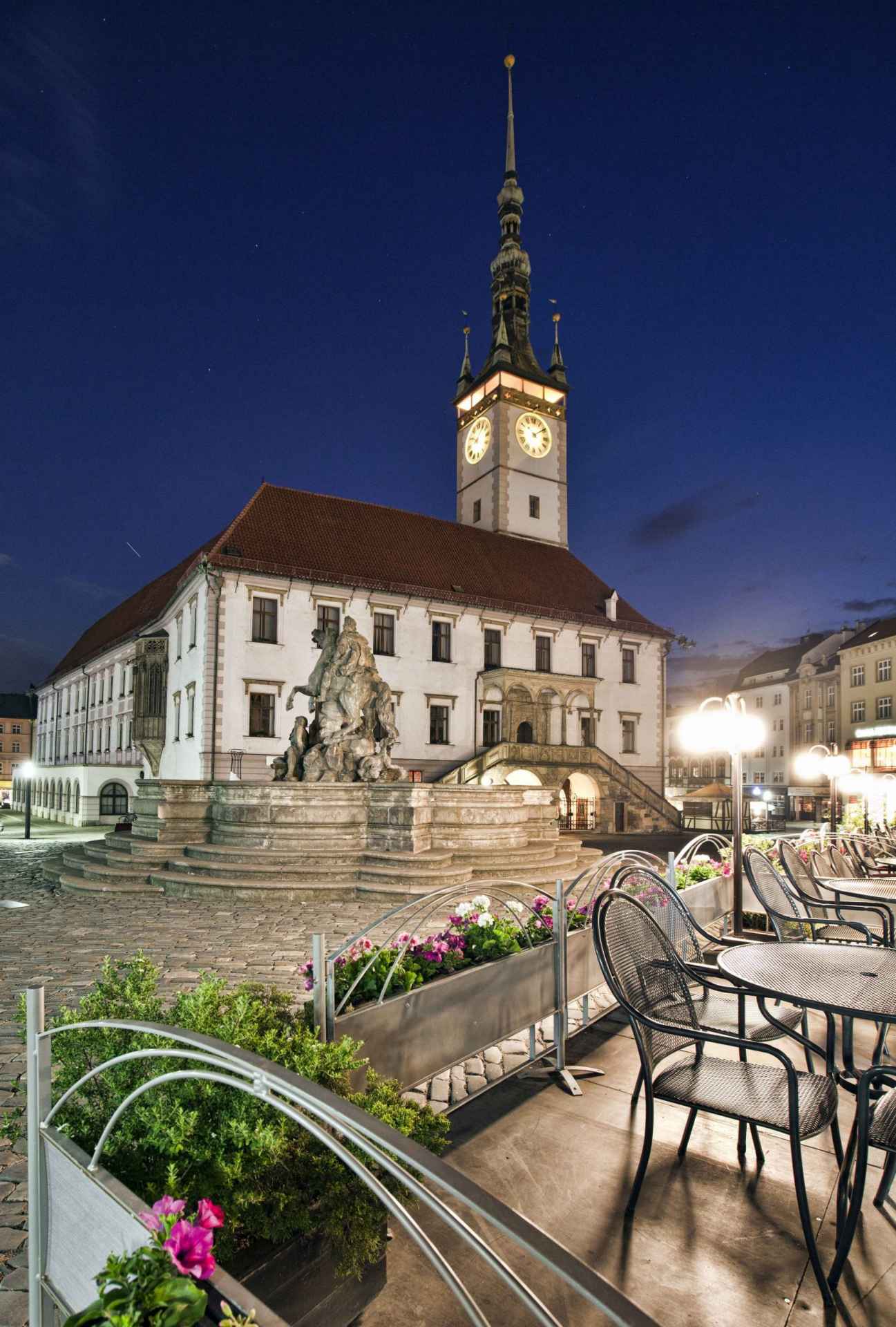
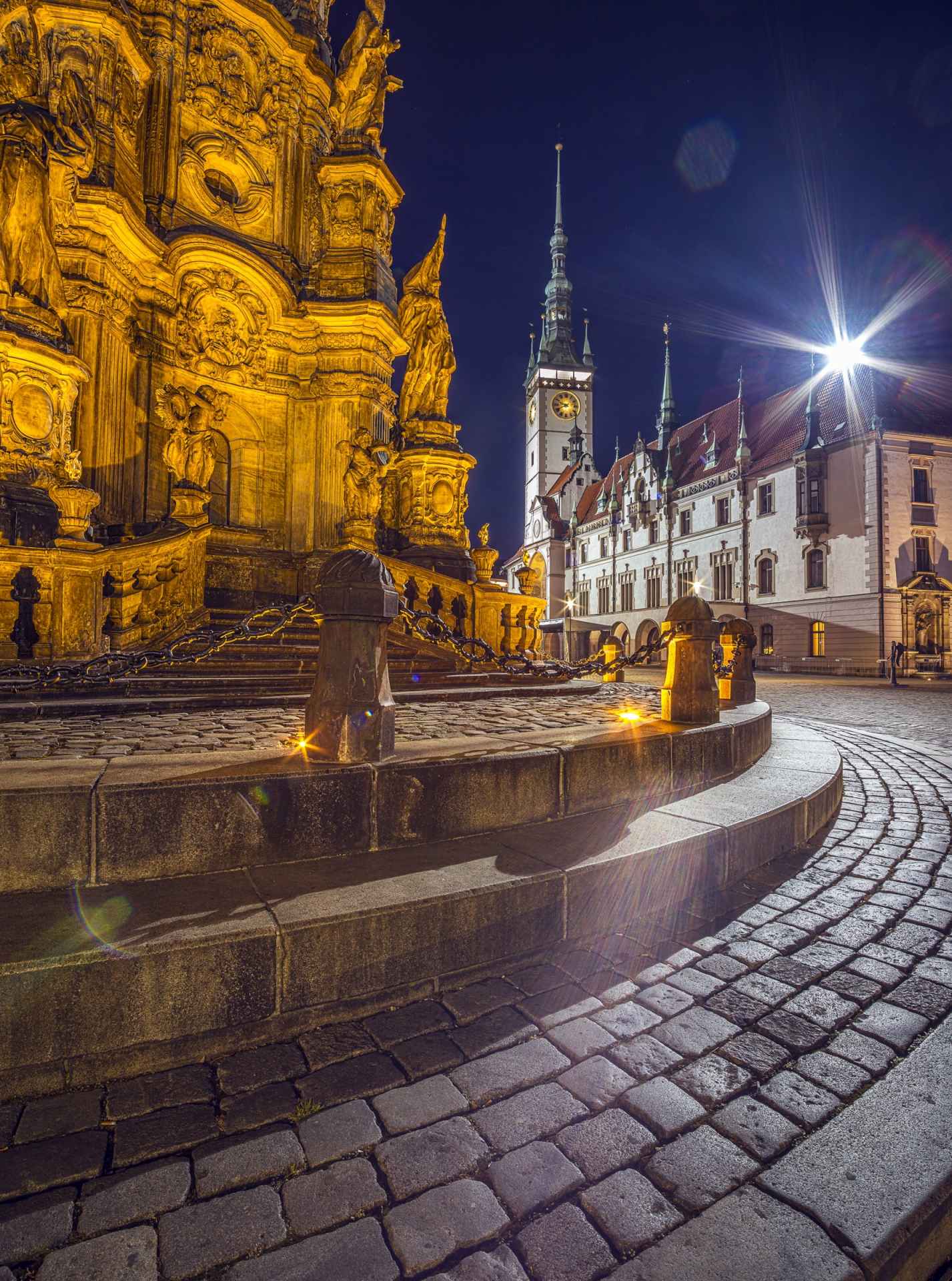
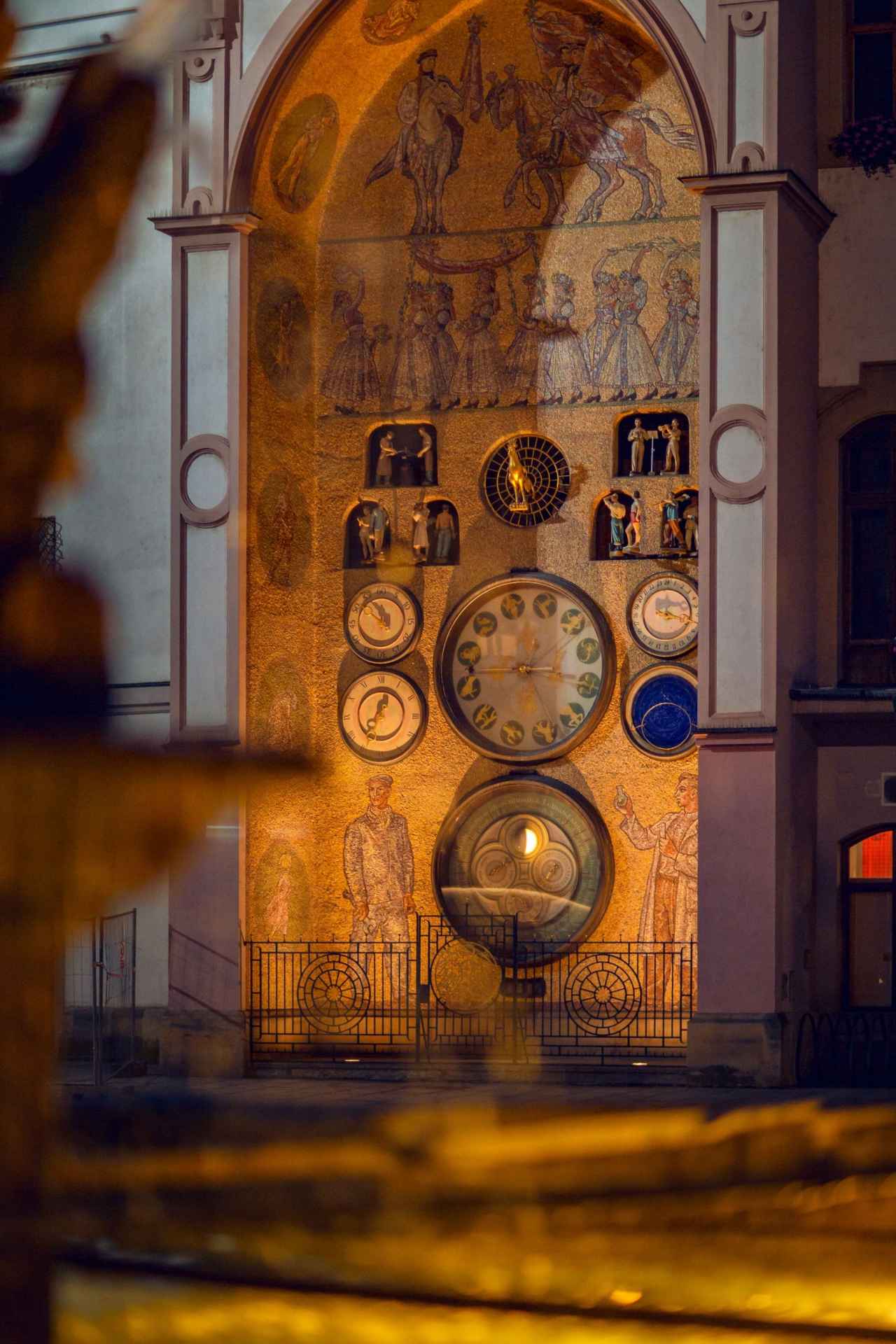
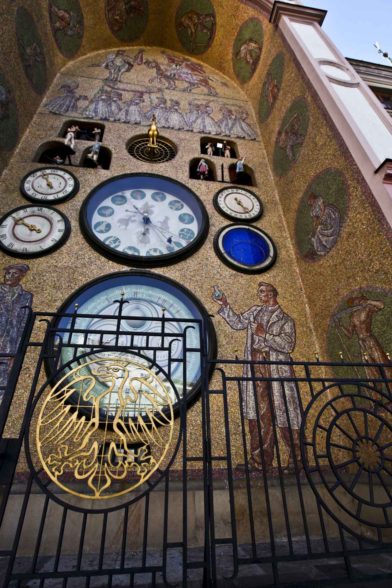
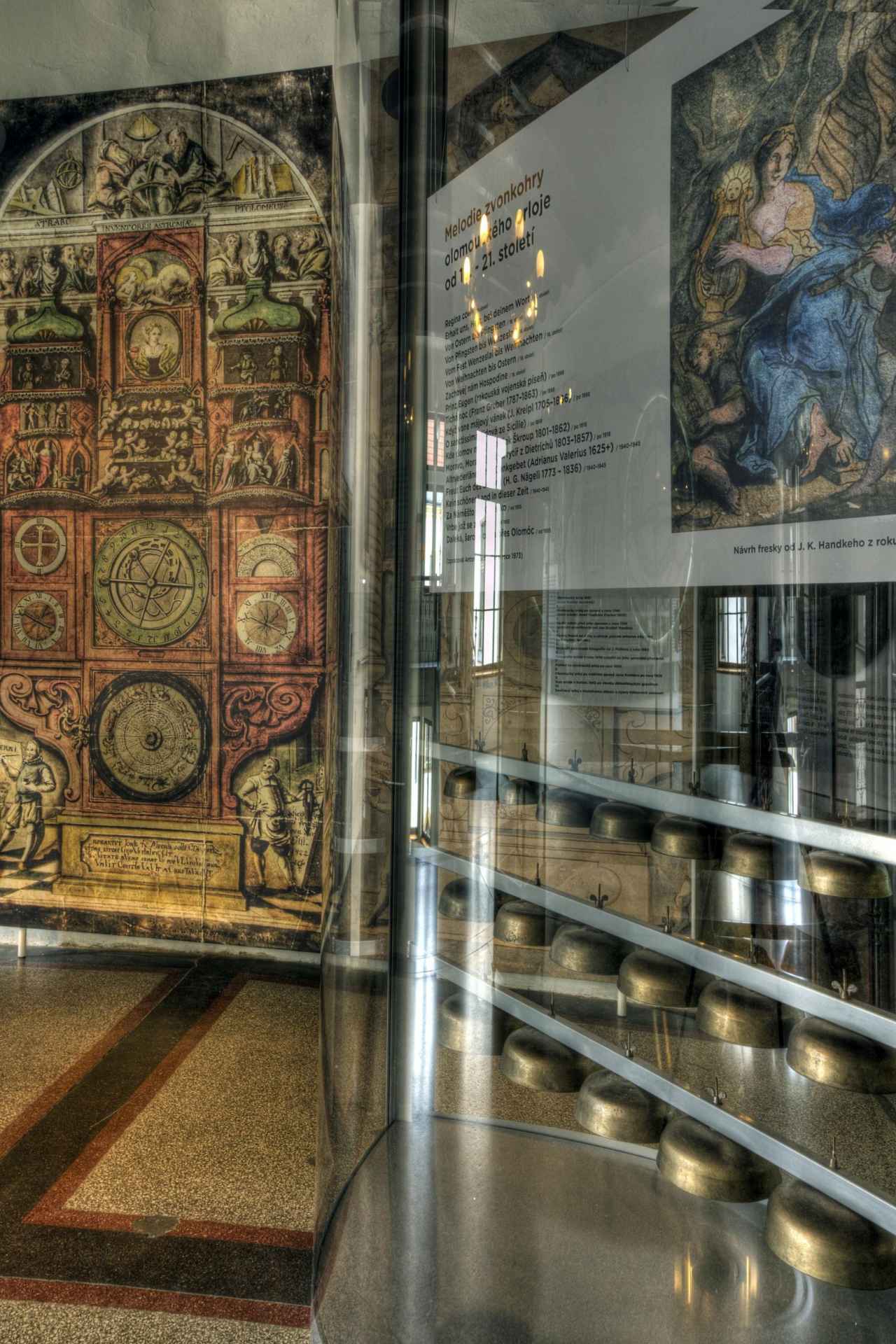
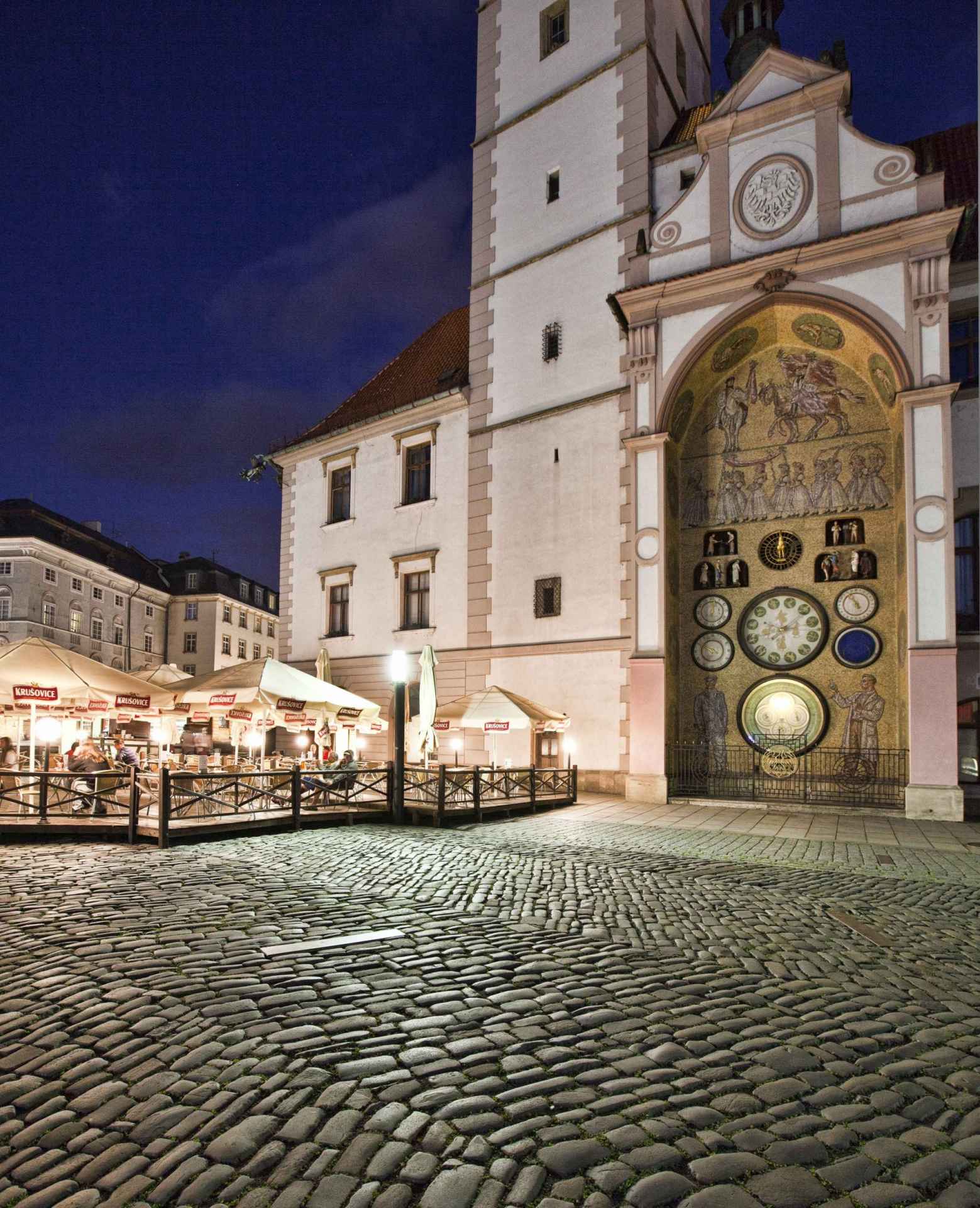
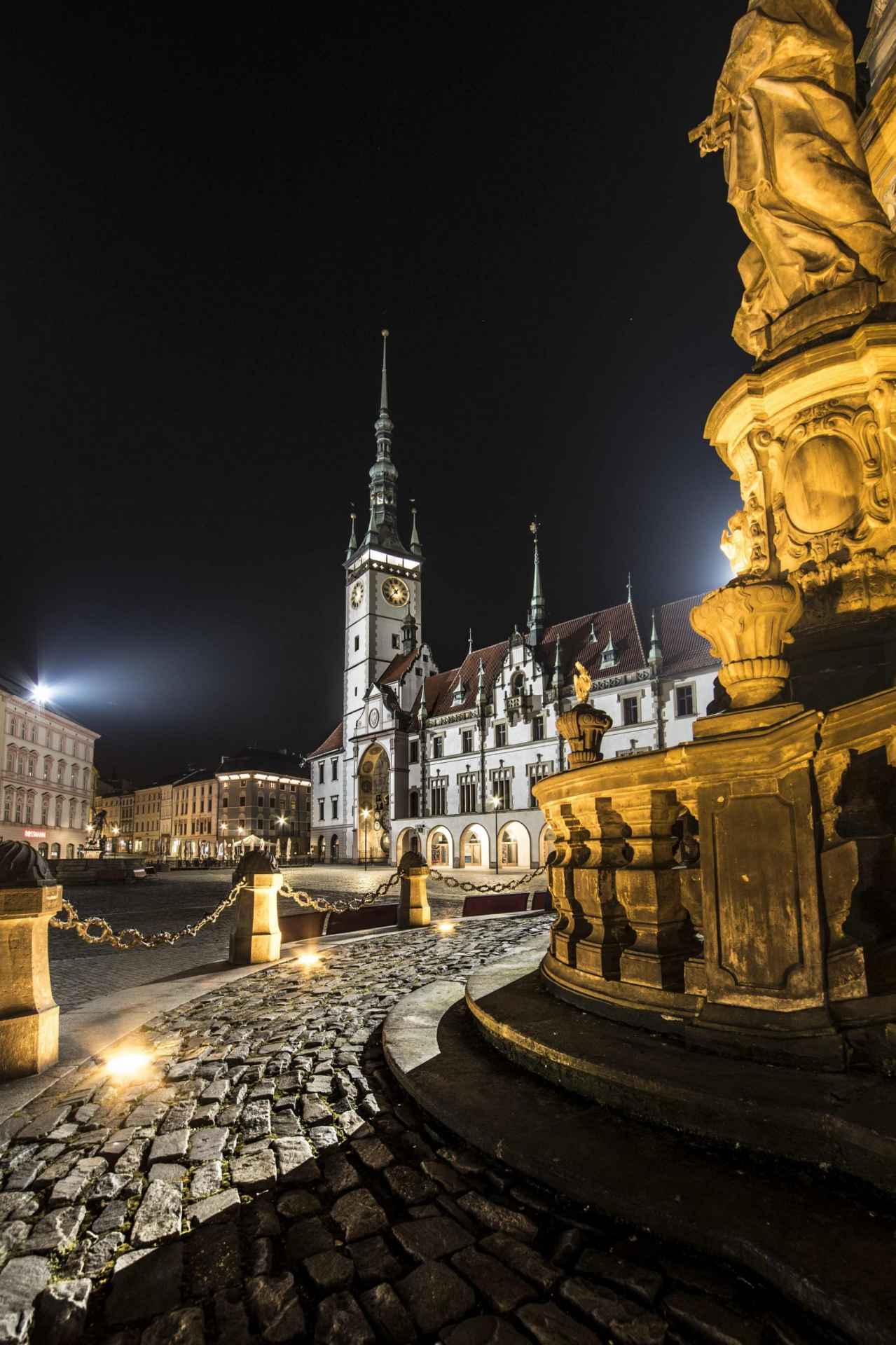
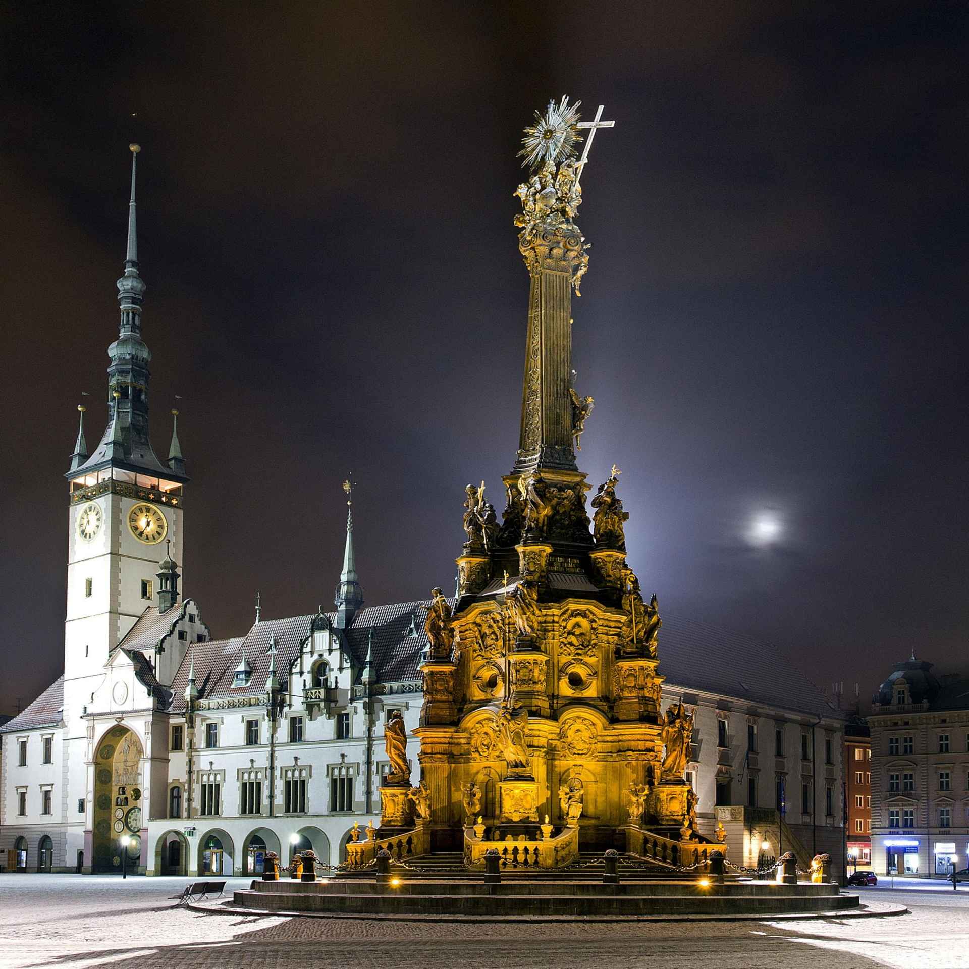
               aktuálně 19.9 °C oblačno 21.06. | jasno | 29.9 °C 22.06. | slabý déšť | 26.4 °C 23.06. | zataženo | 24.1 °C | Olomouc Town Hall with the astronomical clockRenaissance town hall with a 75 metres high tower, from which you can experience an amazing view of Olomouc. At 12:00 sharp, don't miss the show of the astronomical clock!The astronomical clock itself is an interesting testament to the propaganda art of the time, celebrating the working class. Right next to the astronomical clock you will find the entrance to the information centre, where you will not only be offered plenty of tips on what to see and experience, but also a guided tour of the city, a climb up the tower or the rental of an audio guide. During the guided tour of the Town Hall, you will have a peek into the tower, the chapel and the ceremonial hall. There are also 3 permanent exhibitions dedicated to the history of the town hall, the story of the Olomouc astronomical clock and the changes of the town over the centuries. 0%
| ||||||||||||||||||||||||||||||||||||||||||||||||


The system of interactive links for individual records in selected modules within the project Central Moravia - mainly quiet (2024) was implemented with the support of the state budget of the Czech Republic from the programme of the Ministry for Regional Development.
The optimization of the website and the online campaign within the project Adrenalin after ours (2023) were realized with the contribution of the state budget of the Czech Republic from the programme of the Ministry for Regional Development.
The website was created within the framework of the project Marketing TO Central Moravia 2020 implemented with the contribution of the state budget of the Czech Republic from the programme of the Ministry for Regional Development.
The operation and activities of Střední Morava – Sdružení cestovního ruchu (Central Moravia – Tourism Association) were supported by funds from the Czech Republic's state budget under a program of the Ministry of Regional Development of the Czech Republic.