|
aktuálně -1.4 °C oblačno 16.02. | mírné sněžení | -1.0 °C 17.02. | mírné sněžení | 3.1 °C 18.02. | mírné sněžení | 2.0 °C | Contact: 585 154 711
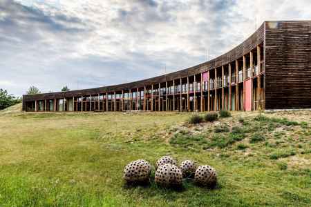
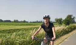
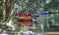
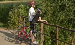
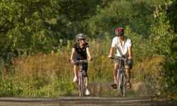
Nature House of Litovelské PomoravíThe Nature House of the Litovelské Pomoraví Protected Landscape Area is a unique outdoor gallery. Where else can you find yourself in the Garden of Eden or take a peek inside the Sun Mountain? The buildings and installations, designed by well-known Czech artists, together with the surrounding nature, creates an exceptional experience for the whole family. Don't forget to stop by the Sluňákov Information Centre first for keys to the secure exhibitions! You can also book a guided tour here, play a game of hide-and-seek, or grab an explorer's satchel and go exploring for life in the area. You can also discover the nature by bike along the nature trail or even from a raft, which you can comfortably ride to Olomouc. 0%
| ||||||||||||||||||||||||||||||||||||||||||||||||
The system of interactive links for individual records in selected modules within the project Central Moravia - mainly quiet (2024) was implemented with the support of the state budget of the Czech Republic from the programme of the Ministry for Regional Development.
The optimization of the website and the online campaign within the project Adrenalin after ours (2023) were realized with the contribution of the state budget of the Czech Republic from the programme of the Ministry for Regional Development.
The website was created within the framework of the project Marketing TO Central Moravia 2020 implemented with the contribution of the state budget of the Czech Republic from the programme of the Ministry for Regional Development.
The operation and activities of Střední Morava – Sdružení cestovního ruchu (Central Moravia – Tourism Association) were supported by funds from the Czech Republic's state budget under a program of the Ministry of Regional Development of the Czech Republic.
