aktuálně 0.0 °C | Contact:
798 61 Bousín - Repechy, Česko
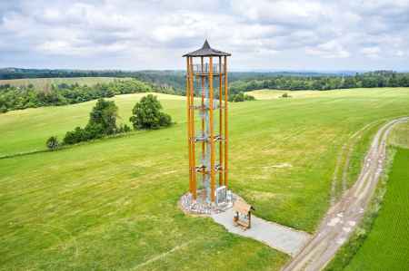
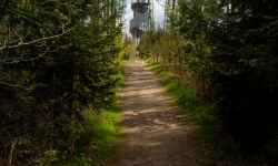
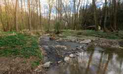
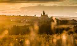
Plan route Kopaninka lookout tower in RepechyThe view from the 22 m high lookout tower, built at an altitude of 635 m above sea level, offers a magnificent view of surrounding hills and mountains – Králický Sněžník, Jeseníky, Beskydy and Hostýnské vrchy.The tower, called Kopaninka, stands about half a kilometre south of the centre of the village of Repechy in the Prostějov region and 3 km from Protivanov. Kopaninka has a wooden structure made of larch wood with a steel spiral staircase. Its viewing platform is located at a height of 18 m. The spring of the local stream and the memorial cross of Jan Usnul, who tragically died while rescuing a drowning schoolboy at the dam of the Mill Stram in Olomouc-Repčín in 2011, are located near the lookout tower. Cycling TIP! Before the lookout tower, you can charge your e-bikes and then set off via the Březina Military Haven (passage only possible from Friday 15:00 to Sunday) to the Plumlov Dam recreation area (14 km) and then to Prostějov, 11 km away, or the chateau area in Čechy pod Kosířem (13 km). From the lookout tower in Repechy you can also go to Konice (22 km) and to the spring of mineral stream called "Ochozská kyselka" (27 km). 0%
| ||||||||||||||||||||||||||||||||||||||||||||||||
The system of interactive links for individual records in selected modules within the project Central Moravia - mainly quiet (2024) was implemented with the support of the state budget of the Czech Republic from the programme of the Ministry for Regional Development.
The optimization of the website and the online campaign within the project Adrenalin after ours (2023) were realized with the contribution of the state budget of the Czech Republic from the programme of the Ministry for Regional Development.
The website was created within the framework of the project Marketing TO Central Moravia 2020 implemented with the contribution of the state budget of the Czech Republic from the programme of the Ministry for Regional Development.
The operation and activities of Střední Morava – Sdružení cestovního ruchu (Central Moravia – Tourism Association) were supported by funds from the Czech Republic's state budget under a program of the Ministry of Regional Development of the Czech Republic.
