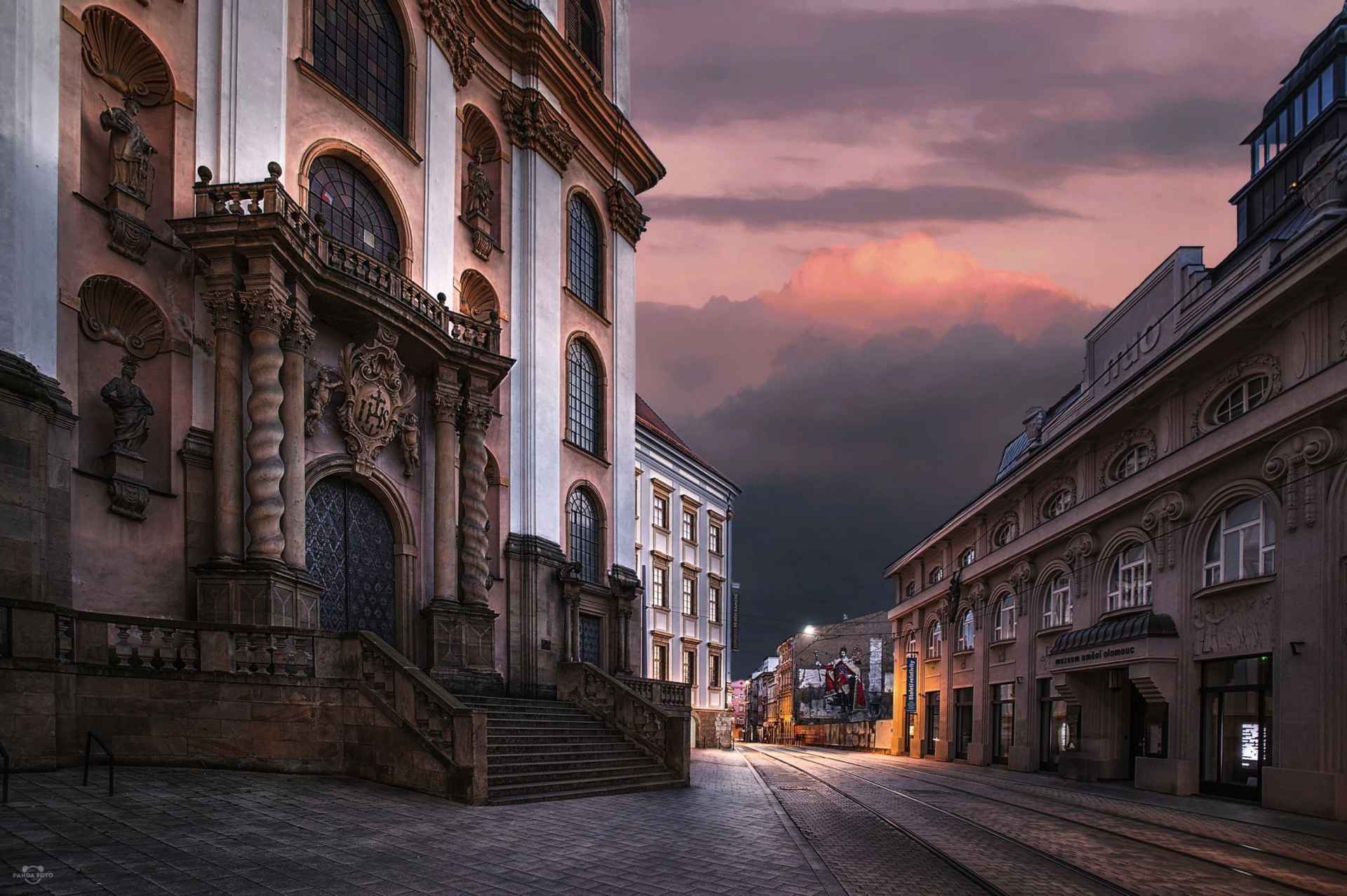
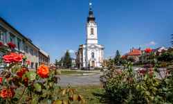
        aktuálně 22.6 °C skoro jasno 02.07. | jasno | 26.1 °C 03.07. | jasno | 21.8 °C 04.07. | jasno | 21.9 °C | Contact:Church of the Virgin Mary of the SnowThe inspiration for the construction of the Baroque church in Olomouc was the Church of St. Nicholas in the Lesser Town in Prague. The church from the beginning of the 18th century, located in the heart of the city, stands out especially for its rich interior decoration. The author of the entrance portal is Václav Render, to whom Olomouc owes the construction of the Holy Trinity Column - UNESCO monument. The temple stands by the tram line (stop "nám. Republiky") and opposite the Museum of Modern Art. If you exit the church and turn left, after a few meters you will reach Horní náměstí (the Upper Square). If you take the path to the right, you will arrive at the Archbishop's Palace and a little further on to St. Wenceslas Cathedral and the Archdiocesan Museum. 0%
| ||||||||||||||||||||||||||||||||||||||||||||||||


The system of interactive links for individual records in selected modules within the project Central Moravia - mainly quiet (2024) was implemented with the support of the state budget of the Czech Republic from the programme of the Ministry for Regional Development.
The optimization of the website and the online campaign within the project Adrenalin after ours (2023) were realized with the contribution of the state budget of the Czech Republic from the programme of the Ministry for Regional Development.
The website was created within the framework of the project Marketing TO Central Moravia 2020 implemented with the contribution of the state budget of the Czech Republic from the programme of the Ministry for Regional Development.
The operation and activities of Střední Morava – Sdružení cestovního ruchu (Central Moravia – Tourism Association) were supported by funds from the Czech Republic's state budget under a program of the Ministry of Regional Development of the Czech Republic.