 aktuálně 0.0 °C Adresa: Tovačov - Tovačov II-Annín Okres Přerov, Olomoucký kraj Česko | Contact:
Tovačov - Tovačov II-Annín, Česko
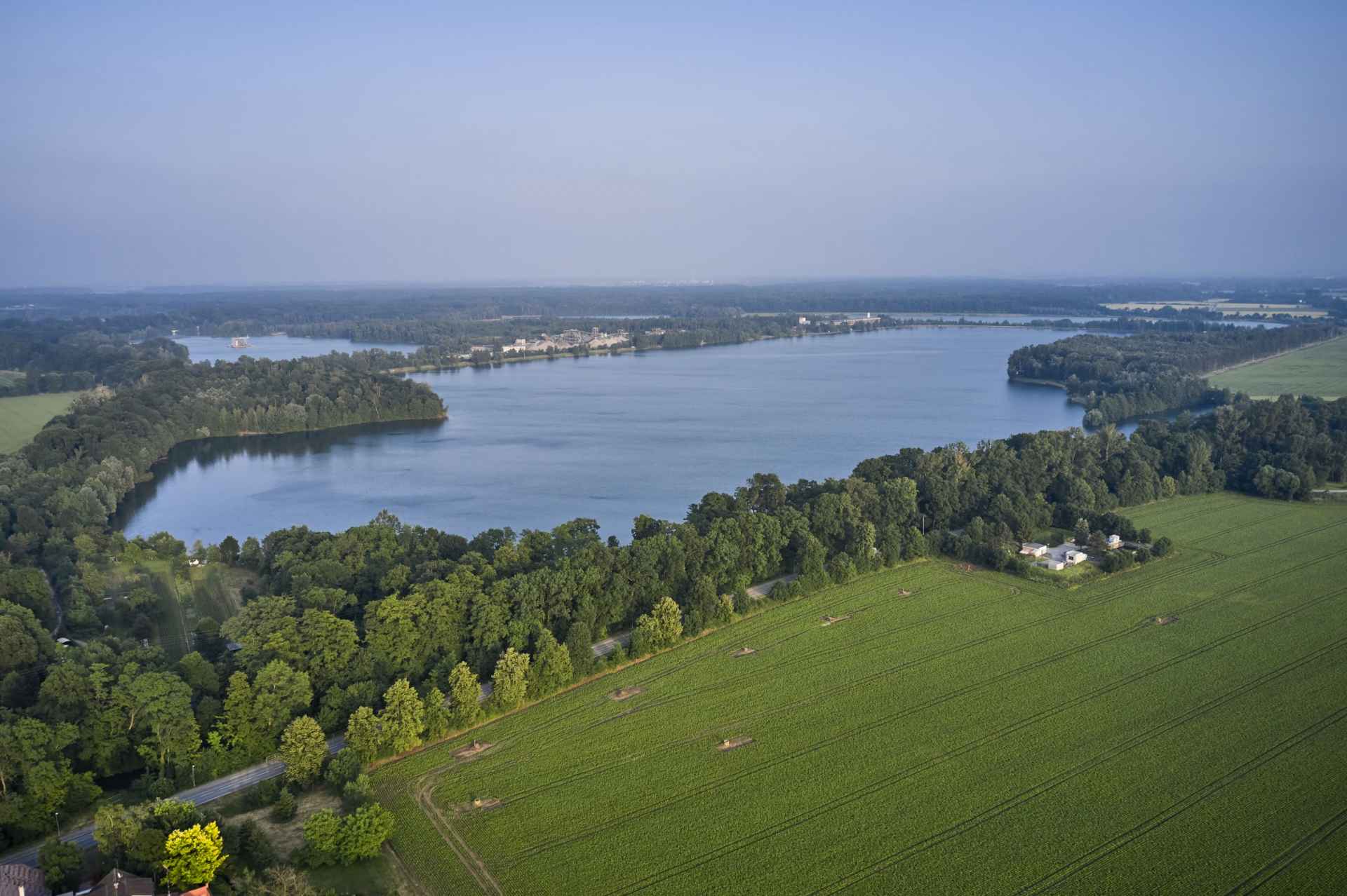
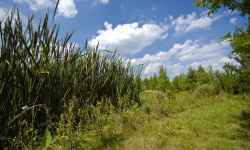
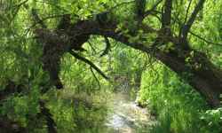
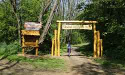
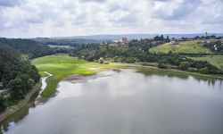
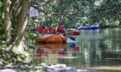
Plan route Lake AnnínEnjoy the hot summer days on the vast beach by Lake Annín!The so-called Tovačov Riviera near Olomouc offers a nearly half-kilometer-long beach with comfortable entrances to the water at several points and a swimming area defined by buoys that reach up to 24 hectares. The very creation of the lakes in the Tovačov region has also created favorable conditions for a variety of flora and fauna and you can observe up to 70 species of birds and more than 30 species of fish in the lakes themselves. 0%
| ||||||||||||||||||||||||||||||||||||||||||||||||


The system of interactive links for individual records in selected modules within the project Central Moravia - mainly quiet (2024) was implemented with the support of the state budget of the Czech Republic from the programme of the Ministry for Regional Development.
The optimization of the website and the online campaign within the project Adrenalin after ours (2023) were realized with the contribution of the state budget of the Czech Republic from the programme of the Ministry for Regional Development.
The website was created within the framework of the project Marketing TO Central Moravia 2020 implemented with the contribution of the state budget of the Czech Republic from the programme of the Ministry for Regional Development.
The operation and activities of Střední Morava – Sdružení cestovního ruchu (Central Moravia – Tourism Association) were supported by funds from the Czech Republic's state budget under a program of the Ministry of Regional Development of the Czech Republic.