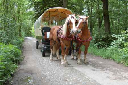
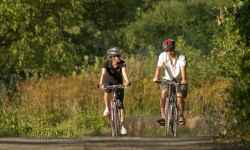
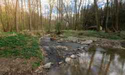
aktuálně -9.7 °C jasno 06.01. | zataženo | -6.8 °C 07.01. | zataženo | -7.2 °C 08.01. | skoro jasno | -8.6 °C Adresa: Vodní 32/6 Horka nad Moravou Okres Olomouc, Olomoucký kraj Česko | Forman carriagesAn unusual experience for the whole family in the form of a horse-drawn carriage ride through the beautiful nature of the Litovelské Pomoraví Protected Landscape Area!During the ride you will taste regional specialties, learn about local traditions, dialect and landscape and have fun with quizzes and puzzles. Depending on the chosen route, you will stop at several places - at the Gallery in nature in front of the ecological centre Sluňákov, at the Haná Museum in nature, at the historical military fortress Fort XVII Křelov or Lake Poděbrady. According to the crew's wishes, the car will also stop in front of a selected pub to taste great local beer. The carriages will take you to places you wouldn't be able to get to. And with refreshments, entertainment, information and a smile... 0%
| ||||||||||||||||||||||||||||||||||||||||||||||||
The system of interactive links for individual records in selected modules within the project Central Moravia - mainly quiet (2024) was implemented with the support of the state budget of the Czech Republic from the programme of the Ministry for Regional Development.
The optimization of the website and the online campaign within the project Adrenalin after ours (2023) were realized with the contribution of the state budget of the Czech Republic from the programme of the Ministry for Regional Development.
The website was created within the framework of the project Marketing TO Central Moravia 2020 implemented with the contribution of the state budget of the Czech Republic from the programme of the Ministry for Regional Development.
The operation and activities of Střední Morava – Sdružení cestovního ruchu (Central Moravia – Tourism Association) were supported by funds from the Czech Republic's state budget under a program of the Ministry of Regional Development of the Czech Republic.
