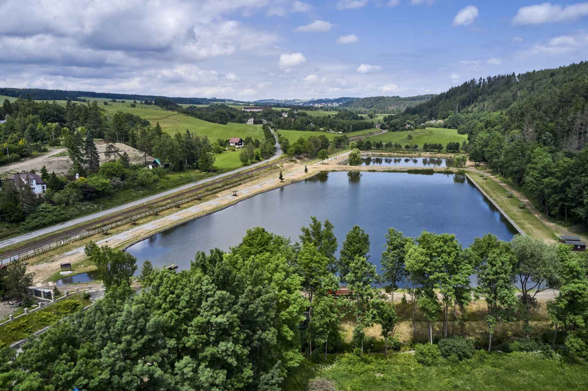
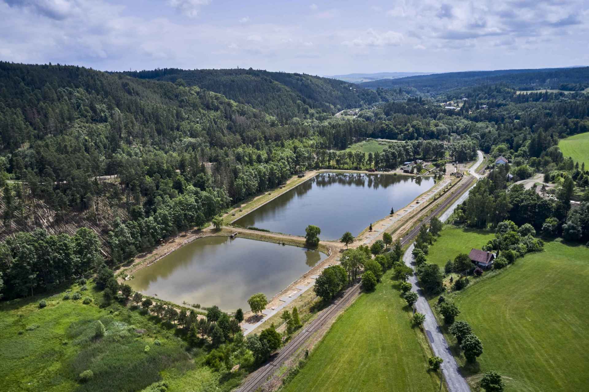
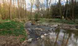
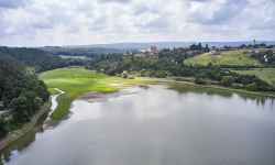
  aktuálně 19.2 °C zataženo 04.07. | polojasno | 23.6 °C 05.07. | slabý déšť | 20.9 °C 06.07. | polojasno | 21.0 °C Adresa: 798 52 Čunín Prostějov, Olomoucký Česko | DevilDo you know what Cristiano Ronaldo, Brad Pitt, Harrison Ford, Emma Watson, or Rihanna and Taylor Swift have in common? They all love fishing! Grab your rods and head to Devil's Ponds, 4 km from Konice.You can get a day pass for catch-and-release or catch-and-take fishing on the spot. Pack your tents, throw your catch on the barbecue in the evening and enjoy family time in nature. In addition to a permit, the mandatory equipment for every angler is a vise, a fish mat, a measuring tape, sanitizer, and a hook release. In case you forget any of the equipment, you can borrow some on the spot. 0%
| ||||||||||||||||||||||||||||||||||||||||||||||||


The system of interactive links for individual records in selected modules within the project Central Moravia - mainly quiet (2024) was implemented with the support of the state budget of the Czech Republic from the programme of the Ministry for Regional Development.
The optimization of the website and the online campaign within the project Adrenalin after ours (2023) were realized with the contribution of the state budget of the Czech Republic from the programme of the Ministry for Regional Development.
The website was created within the framework of the project Marketing TO Central Moravia 2020 implemented with the contribution of the state budget of the Czech Republic from the programme of the Ministry for Regional Development.
The operation and activities of Střední Morava – Sdružení cestovního ruchu (Central Moravia – Tourism Association) were supported by funds from the Czech Republic's state budget under a program of the Ministry of Regional Development of the Czech Republic.